
Environment Canada may have downgraded a severe thunderstorm warning to a watch for London-Middlesex, but flash floods and numerous power outages have already wreaked havoc along city streets.

Around 3 pm Thursday, London Hydro reported power outages in the northwest part of the city, causing numerous traffic tie-ups throughout the area.
Shortly there after, 980 CFPL received multiple reports regarding flash floods around the city, most notably on Oxford Road and Proudfoot Lane and Wonderland Road and Riverside Drive, where the latter was closed for high water levels.
Wonderland Road and Riverside Drive has since reopened around 4:30 pm, while most of the power has returned to the northwestern part of the city.
London Hydro says the power is now out in the North London area of Broughdale, with no estimated time for restoration.
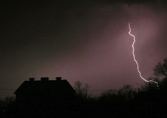
Meanwhile, Environment Canada says a severe thunderstorm watch remains in effect for London and the Surrounding areas.
The national weather agency said conditions are favourable for the development of dangerous thunderstorms that could produce torrential rain, and wind gusts up to 90 km/h.


The thunderstorms are expected to move slowly, and could dump some locations with between 25 and 50 millimetres of rain in short time.
As a safety reminder, weather officials are advising the public to head indoors when thunder roars.
The watch comes amid an ongoing heat warning for much of southwestern Ontario. Forecasters have labelled this as the most significant heat event in the past few years.
Comments