





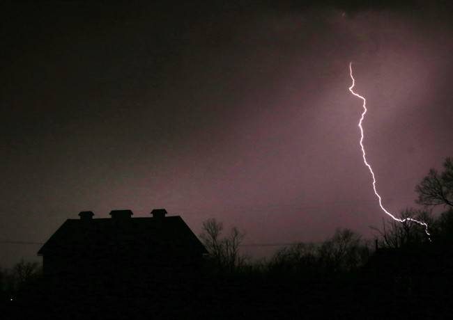
It’s going to be a rainy Wednesday in The Forest City.

Environment Canada has issued a special weather statement for London and Southwestern Ontario as potentially heavy thunderstorms move into the area.
London saw 10 to 15 millimetres of rain overnight Tuesday, but say the heaviest storms are on the way.
“More showers and thunderstorms are moving into the area Wednesday morning and into the afternoon. Total rainfall amounts are forecast to be 15 to 25 millimetres,” said meteorologist with Environment Canada, Weiqing Zhang.
READ MORE: Hot, wet summer in store for London
Before the storms end Wednesday night, London could see another 5 to 10 millimetres in the evening, Zhang said.
On Thursday, the weather reporting agency is forecasting isolated showers and temperatures in the mid-twenties.

Get breaking National news
But, the special weather statement doesn’t end there. Following the stormy weather, Environment Canada is calling for an extreme heat event for the Canada Day long weekend.
“Looks like temperatures will be in the lower thirties, but the hottest days will be during the long weekend,” Zhang said.


“On Saturday and Sunday temperatures will be closer to mid-30s. With the humidex, closer to the mid-40s.”
Overnight temperatures will fall only to the low-20s, providing little or no relief from the heat, she said.
According to Zhang, a southwest flow bringing hot and humid air from the Gulf of Mexico is to blame for the scorching heat to come.
She says this will likely be the most significant heat event of the season so far.
It’s still not clear how long the sweltering heat will last, but it could continue into the middle of next week, Zhang said.


Comments
Comments closed.
Due to the sensitive and/or legal subject matter of some of the content on globalnews.ca, we reserve the ability to disable comments from time to time.
Please see our Commenting Policy for more.