


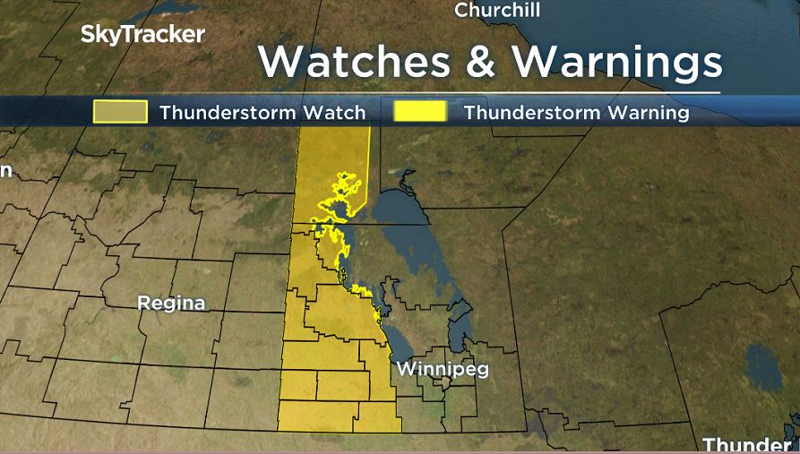
Severe thunderstorm watches were issued by Environment and Climate Change Canada Tuesday morning for parts of western Manitoba.

The watches begin in Westman and stretch as far north as the Flin Flon region.
With hot and humid conditions across most of the province, thunderstorm activity will be triggered by a passing cold front. The greatest risks for severe weather include damaging winds and large hail.
Severe thunderstorms warnings began to be issued early Tuesday afternoon around parts eastern Saskatchewan and into western Manitoba.

Get daily National news
READ: ‘It was like a gun shot’: residents near Ninette, Man. describe hailstorm
The thunderstorm outlook from Environment and Climate Change Canada shows a moderate risk for severe weather with potential for severe weather in Winnipeg and the Red River Valley.

The passing cold front will likely begin to impact western Manitoba this afternoon and move towards the Winnipeg area around the evening and overnight hours.
Comments
Want to discuss? Please read our Commenting Policy first.