
In honour of Earth Day, Google teamed up with Parks Canada to digitally map an additional seven of Canada’s national parks.

In total, 167 of Canada’s parks have now been preserved in 3D panoramic glory on the Google Street View platform. Using a backpack-mounted camera called the “Street View Trekker,” employees from Parks Canada and Google trekked through some of Canada’s most remote destinations to capture visuals of these locations.
WATCH: Banff Springs Hotel among Canada’s spookiest places on Google Street View

Over 75 per cent of Parks Canada’s spaces are now digitally documented on Street View — a total surface area of 3,330 kilometres.
Jeff Bolingbroke, a new media officer for Parks Canada, was part of the team who wore the Street View Trekker while backpacking through the Nááts’ihch’oh National Park Reserve and Nahanni National Park Reserve.
“We, as Parks Canada, are lucky enough to be protecting really some of the finest examples of natural places that Canada has to offer,” Bolingbroke told Global News.

Parks Canada has had an ongoing collaboration with Google that involved documenting the National Parks on Street View since 2013, and each year new parks are captured and added to the platform.
“It’s a good opportunity for Parks Canada to share our national parks and historic sites with Canadians, whose on behalf we actually are protecting them,” Bolingbroke said.
His favourite destination as part of his most recent mapping experience was the Nahanni National Park Reserve (more commonly known as Virginia Falls), where a waterfall “something like twice the height of Niagara Falls” took his breath away.

“The water was just pounding down that waterfall, creating a spray, and in the spray you can see rainbows, and it was really just a spectacular place to be in. It was really just nature, doing its thing.”

Get breaking National news
In the back of his mind however, Bolingbroke knew that a feature like this one could do more than simply inspire people to visit the parks; it could offer those who couldn’t physically visit an opportunity to experience them as well.
“Every time that I’m actually carrying the trekker and walking around these amazing places, it’s definitely in the back of my head that we’re able to bring the parks to the people … Some of them are quite remote and some of them are quite difficult to get to. Some of them have challenging terrain features that make it quite difficult to actually access,” he said.
He adds that part of the experience of mapping these remote locations is knowing that it also presents an opportunity to bring these parks to Canadians and to people around the world.


“It’s not the same experience as actually being there, but if we can find a way to actually share that experience and what it’s like to be in a virtual visit in those locations to all Canadians, I think that’s a really fantastic thing.”
Take a look at the most recent additions to Street View below:
Nahanni National Park

Naatsich’oh National Reserve

- B.C. man charged, accused of driving motorhome onto Abbotsford airport runway
- Wildfires near Clinton, B.C. merge, stretching nearly 670 square kilometres
- Quebec paramedics reach tentative deal with province after years without contract
- Historic Halifax tree vandalized again leaving community baffled


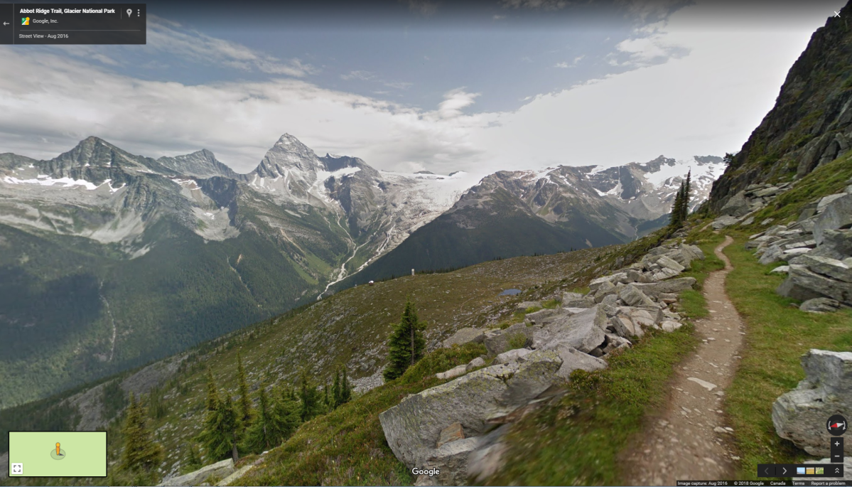
Glacier National Park

Terra Nova

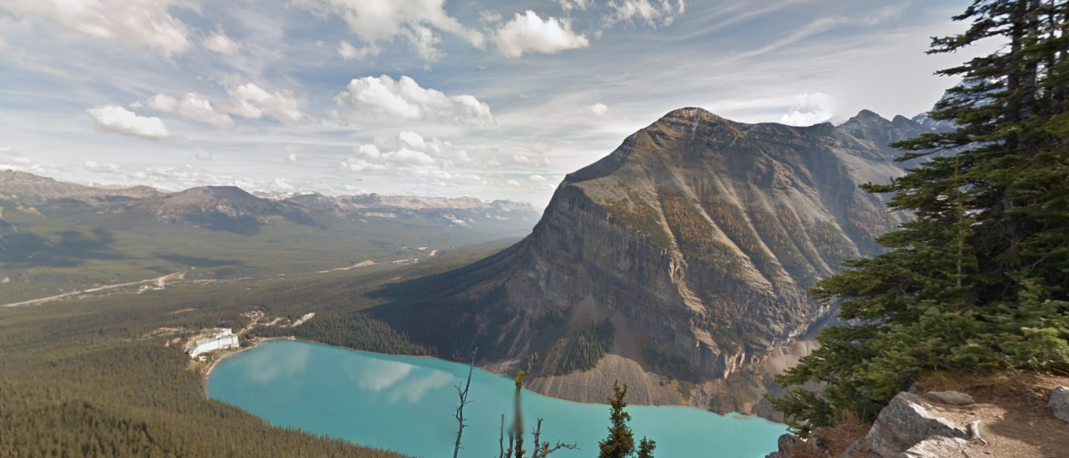
Lake Louise
Mount Revelstoke

Comments
Want to discuss? Please read our Commenting Policy first.