
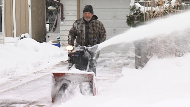
It’s going to be very cold across most of B.C. this week and more snow is on the way.

Global BC meteorologist Mark Madryga said while this cold snap is not record-breaking, it is expected to stick around the next couple of days.
Temperatures are expected to stay around 1 C during the day and down to as low as -9 C overnight on the South Coast, while temperatures will range around -10 C during the day and as low as -35 C in the Central Interior.
Snow on the way

Get breaking National news
“A weak front sliding down through B.C. on Wednesday will generate some light snow in several areas,” Madryga said. “However, it is the time frame of Friday through Saturday that is shaping up to be more significant.”
Madryga said this system will produce “significant snowfall, including on the B.C. South Coast.”
“The air will be a little milder at that time and some rain may fall closer to sea level,” he says. “As this scenario is still days away, a fine-tuning of the forecast will be ongoing, but safe to say the wintry weather will continue.”
- After experiencing 2016 wildfire, Fort McMurray survivor addresses evacuation trauma
- Edmonton organizations watch out for seniors during hot, smoky conditions
- Calgary air quality on Friday among the worst cities on earth
- Thorhild, Westlock counties declare state of agricultural disasters due to rain


One computer model is forecasting that Vancouver will receive up to 19 centimetres of snowfall, at high elevations, from Friday afternoon to Saturday morning.
Squamish could received up to 37 centimetres and the North Shore mountains could get up to 26 centimetres.
Madryga will be providing updates on this weather system throughout the week.
Stay tuned.
Comments
Want to discuss? Please read our Commenting Policy first.