
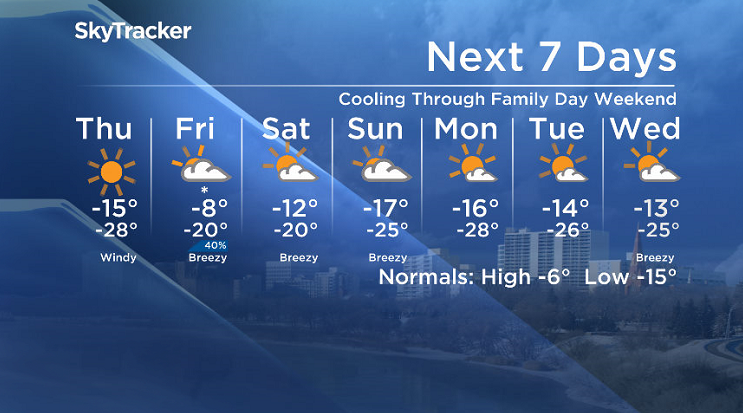
Environment Canada has ended a blowing snow advisory for Saskatoon, Prince Albert, Melfort and much of central Saskatchewan for hazardous travel conditions expected due to reduced visibility in blowing snow, but has issued an extreme cold warning for the city and surrounding area for -40 wind chills Thursday morning.

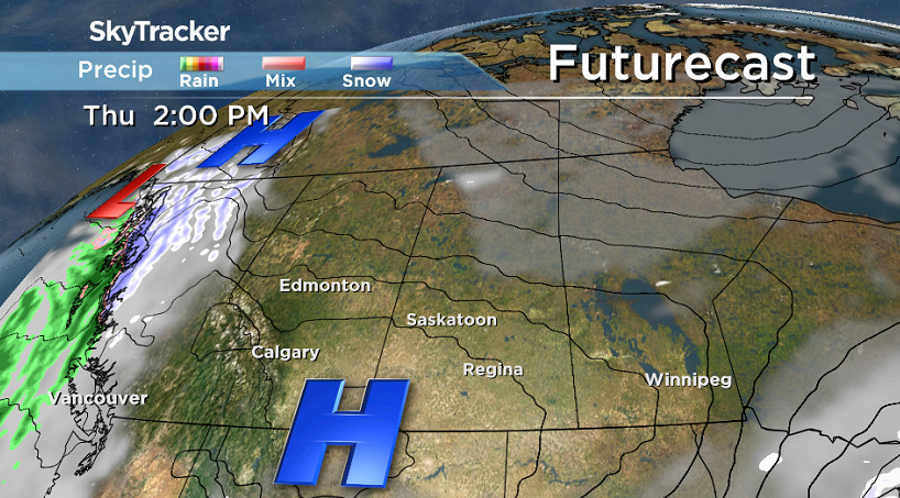
Much colder moved in in the wake of a cold front pushing through.
For the latest weather alerts, download the Global News SkyTracker Weather App for iPhone, iPad or Android.

Get breaking National news
Saskatoon Forecast
Valentine’s Day Wednesday
It was a wild start to Valentine’s Day in Saskatoon with numerous collisions and police issuing a traffic advisory for worsening road conditions as wet snow fell and cool northeasterly winds gusted up to 50 km/h.
Temperatures began the day around the freezing mark with before the cold front kicked into full swing over the noon hour, dropping us back into mid-minus single digits with wind chills into minus double digits.
Visibility continued to be reduced with slippery road conditions as snow and wind continued into the afternoon as we cooled back into minus double digits with wind chills diving back into the -20s.
Wednesday Night
Snow eased as clouds cleared out during the evening and arctic air dove back in, causing the mercury to plunge back into the mid -20s with wind chills into the -40s.
Thursday
An arctic high sliding by will keep us cool Thursday with wind chills approaching extreme cold warning criteria of -40 in the morning before temperatures climb up into the mid-minus teens for an afternoon high.
Beautiful blue skies and sunshine will be back with winds also kicking back in with gusts upwards of 40 km/h possible.
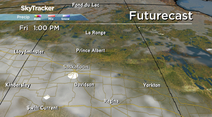
Friday
A weak low pressure system will pass by on Friday and bring us back into the clouds with a chance of snow at times to round off the week.
Milder air will press back in during the day with a daytime high a few degrees into minus single digits.
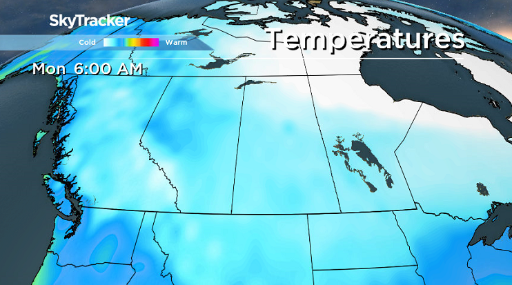
Family Day Long Weekend Outlook
A few sunny breaks are expected to kickoff the long weekend on Saturday before more clouds roll in Sunday and then sunshine returns as another arctic high drops in for Family Day Monday.
We’ll be under a cooling trend through the weekend with daytime highs dropping from around -12 degrees Saturday before dipping into the mid-minus teens Sunday and Monday with morning wind chills approaching the -40s Family Day morning.
This Your Saskatchewan photo was taken of an unaltered, naturally occurring Valentine on Mike Wells’ back deck in Saskatoon:

Saskatoon weather outlook is your source for Saskatoon’s most accurate forecast and is your one stop shop for all things weather for central and northern Saskatchewan with comprehensive, in-depth analysis that you can only find here.


Comments
Want to discuss? Please read our Commenting Policy first.