

UPDATE: Wind, snowfall warnings across Saskatchewan

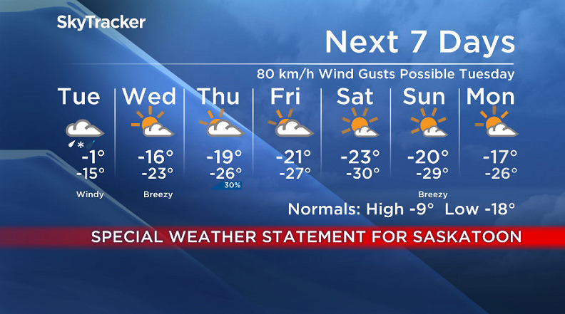
Environment Canada has issued a special weather statement across central and southern Saskatchewan, including Saskatoon, for wind gusts in excess of 80 km/h Tuesday.
A significant low pressure system will track through Saskatchewan on Tuesday and as it does, southeast winds of 30 gusting to 50 km/h will develop ahead of the low over southern Saskatchewan early Monday evening.
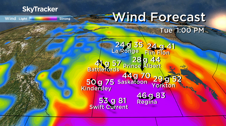
In the wake of the low, northwest winds of 50 gusting to 80 km/h will move in Tuesday, with the potential for wind gusts in excess of 90 km/h, with wind warnings potentially being added later.
With regions along the Yellowhead Highway having received recent snowfall with the previous system, significant visibility reduction in blowing snow is possible in those areas.
A snowfall warning is in effect for part of northern Saskatchewan for 10 to 20 centimetres of snow as the system slides through.
There is also a risk of freezing rain or ice pellets mainly along the Yellowhead corridor with above zero temperatures forecast for southern portions of province by Tuesday morning before temperatures falling to below zero by late afternoon.
For the latest weather alerts download the Global News SkyTracker Weather App for iPhone, iPad or Android.
Saskatoon Forecast
Monday
It was a frigid start to the week with the mercury plummeting down to -27 with wind chills making it feel like -36 overnight before clouds rolled in and warmed us up a few degrees by morning.
We managed to make it into the minus teens by midday with ice crystals and wind chills still hovering around -30 under mostly cloudy skies.
Clouds will stick around for the rest of the day with ice crystals at times as we rise up to an afternoon high in the minus teens with wind chills nudging up into the mid -20s.

Get breaking National news
Monday Night
A system sliding in from Alberta will keep us in the clouds and introduce a good chance of freezing rain and ice pellets as warm air accompanying it moves in and warm southeasterly winds pick up to gust up to 50 km/h.
Temperatures will start out the evening in the mid-minus teens with wind chills in the mid -20s before warming all the way up into mid-minus single digits.

Tuesday
It’ll be warm when you head out the door in the morning, possibly as warm as the freezing mark, but don’t be deceived – by the end of the day, we’ll be back in minus double digits with -20 wind chills.
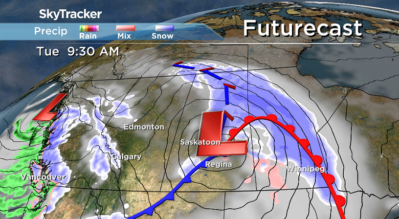
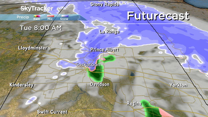
The centre of the system will pass right over the region early in the day and bring in a good chance of freezing rain and ice pellets in the morning before transitioning over to snow and then easing midday.


As the associated cold front sweeps through, northwesterly winds will pick up with sustained speeds in excess of 50 km/h and gusts upwards of 70 km/h possible.

Wednesday-Friday
Much calmer and colder weather moves in for the rest of the week with arctic air plunging back in and knocking daytime highs into the minus teens Wednesday and then back toward and into the -20s Thursday and Friday.
Overnight lows will drop into the mid -20s with morning wind chills in the -30 to -40 range with some more sun on Wednesday before clouds build back in to end the week.

Weekend Outlook
As soon as we lose the clouds this weekend, we’re toast! Temperatures will plummet into the -30s with wind chills as cold as the mid -40s as an arctic high brings in frigid conditions and clear skies.
Days will be sunny, albeit freezing and thus difficult to enjoy with daytime highs in the -20s and morning lows as cold as -30 with extreme cold wind chills expected both days.
The Your Saskatchewan photo for Jan. 29 was taken near Humboldt by Brenda Reifferscheid:

Saskatoon weather outlook is your source for Saskatoon’s most accurate forecast and is your one stop shop for all things weather for central and northern Saskatchewan with comprehensive, in depth analysis that you can only find here.
Comments
Want to discuss? Please read our Commenting Policy first.