

Extreme -40 wind chills finish off the second week of 2018, but relief is on the way!

Extreme Cold Warning
Environment Canada has continued an extreme cold warning for Saskatoon, Prince Albert and much of central and extreme northern Saskatchewan for a prolonged period of very cold wind chills.
Wind chill values of -40 or colder persist in parts of the northern grainbelt late Friday morning, but should moderate slightly this afternoon.
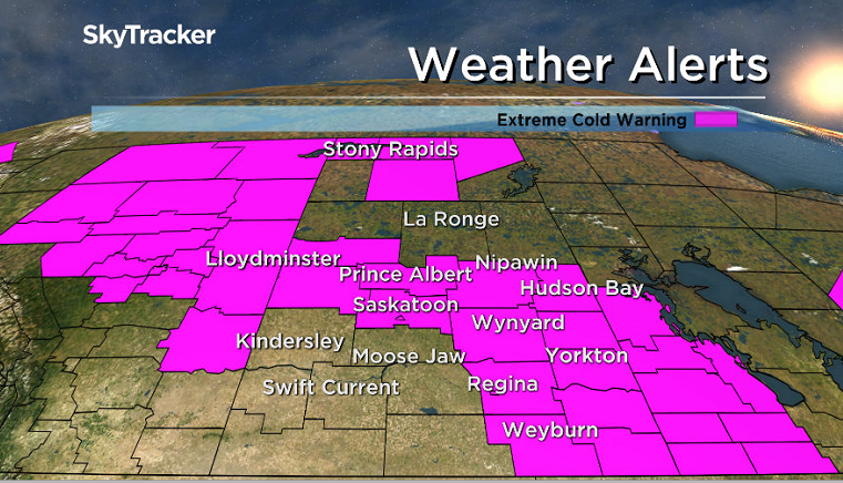
Extreme wind chills of -40 or colder will redevelop Friday night in most areas except in the southwest where a slightly milder airmass is working its way in.
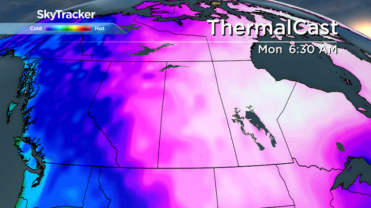
For the latest weather alerts download the Global News SkyTracker Weather App for iPhone, iPad or Android.
Saskatoon Forecast
Friday
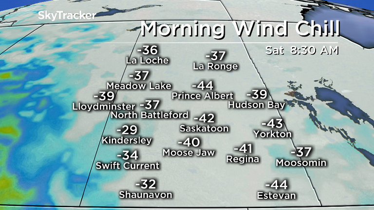
-43 is what it felt like with wind chill to start the day as temperatures plummeted down to -34 degrees under clear skies and an arctic high pressure system.
Extreme cold conditions remained in place through the morning as sunshine continued and we managed to warm into the mid -20s by noon.
Wind chills will remain in the -30s as the mercury rises up into the mid -20s for an afternoon high as pure blue skies and sunshine stick around for the rest of the day.

Get daily National news
Friday Night
Clear skies tonight will allow us to cool back into the -30s with wind chills around -40 overnight before we start to warm up slightly overnight as the arctic high slides off to the southeast.
Saturday
By morning, temperatures are expected to have risen up to around -28 degrees with wind chills around or just about -40 to start, but clouds and a milder push of air will help moderate conditions during the day.
During the afternoon we should climb all the way up to a daytime high in the mid-minus teens with wind chills rising into the mid -20s, and those values should hold into the evening as cloud cover lingers.


Sunday
Another arctic high will push out the clouds early Sunday and bring in a slight chance of early morning flurries as the cold air displaces the milder air.
Temperatures will fall from the minus teens overnight into the -20s during the day as sunshine kicks back in and then back toward the -30s in the evening under clear skies.
Work Week Outlook
The arctic air will stick around on Monday, pushing us back into the -30s with extreme cold -40 wind chills possible in the morning before an upper ridge builds back in the heat during the week.
Relief will move back in mid-week thanks to a building upper ridge that’ll help daytime highs spring back up into minus single digits as clouds roll back in.

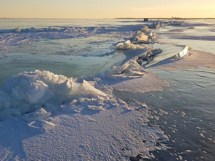
James Lopaschuk took the Your Saskatchewan photo for Jan. 12 at Last Mountain Lake:
READ MORE: Get a 2018 Your Saskatchewan Calendar today
Saskatoon weather outlook is your source for Saskatoon’s most accurate forecast and is your one stop shop for all things weather for central and northern Saskatchewan with comprehensive, in depth analysis that you can only find here.
Comments
Want to discuss? Please read our Commenting Policy first.