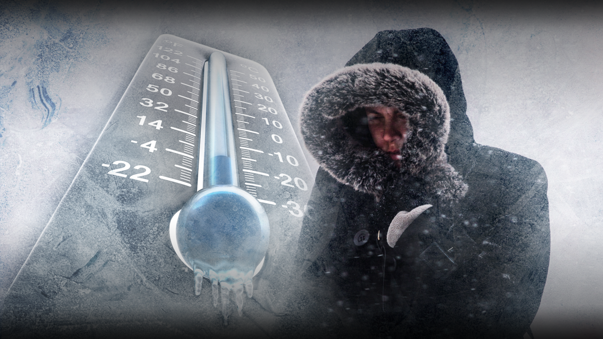
It looks like Jack Frost will be nipping at our noses come Dec. 25.

A blast of winter weather covered London with three centimetres of snow Thursday, giving us a taste of what we’ll see — and feel — come Christmas.
For those who will be running around in the days before the man in red makes his yearly appearance, Environment Canada is calling for seasonal temperatures.
“Saturday doesn’t look too bad, maybe a little bit of flurry activity in the area and a seasonal high of plus 1 C,” said Geoff Coulson, spokesperson for Environment Canada.

Get daily National news
“For Sunday, Christmas Eve, there is what looks like a weak system that’s going to pass through southwestern Ontario that may give a little bit of snow to the London area. I’m not expecting significant accumulations, but there may be a little bit around and that light snow could continue on and off into Christmas Day,” said Coulson.
While some snow is expected on Dec. 25, Coulson says the real story is going to be the unseasonably cold arctic air that’ll help us ring in the new year.
“That’s going to be the weather story to finish off the month of December and to lead us into the month of January. For those who may be heading out for Boxing Day sales or visiting family on Tuesday, the high is only expected to be -9 C — our normal high for this time of year should be about -1 C,” said Coulson.
“The much colder-than-normal conditions are expected to continue right through the end of December and into the first week of January.”
Although he’s not expecting too much snow to hit the area, Coulson says motorists should always drive according to road and weather conditions.


Comments