


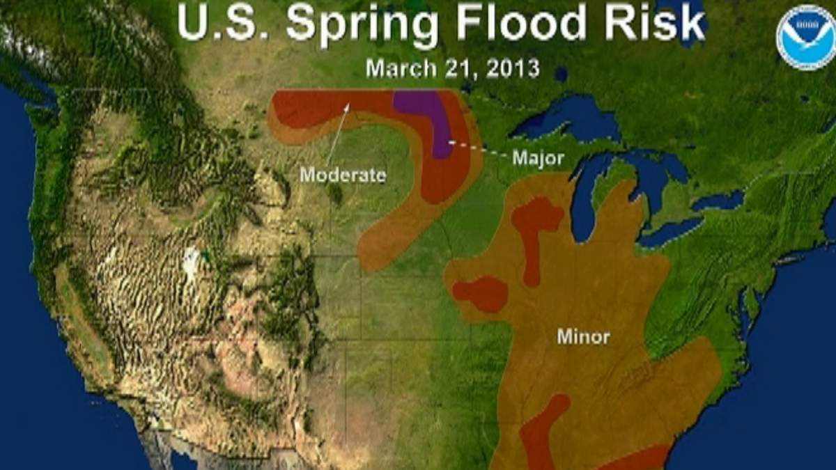
WINNIPEG – The U.S. National Weather Service says Fargo, N.D. and neighbouring Moorhead, Minn. should brace for a top five flood event.

The NWS said the Red River in Fargo has a 50 per cent chance of reaching a level of 38 feet. Flood stage is 18 feet. Officials released the updated forecast Thursday relative to weather conditions recorded up to March 21.
In response, the City of Fargo and Cass County are preparing to declare states of emergency. City officials said Fargo is still in “good shape” to handle flooding due to recent flood-protection improvements but they still need to produce 500,000 sandbags in addition to the 750,000 already in reserve. “Sandbag central,” a community sandbag-filling depot in Fargo, is expected to open April 3.

Get breaking National news
The record Red River crest in Fargo in 2009 hit just under 41 feet. With no permanent flood protection device in place, it caused major flooding, which led to the evacuation of thousands of residents. It also caused an estimated $100-million in damage.
- City of Regina is asking residents for feedback to improve downtown Regina
- Environment Canada issues rainfall warnings, special statement for B.C., and Alberta
- Late spring start, dry conditions to blame for intense Edmonton allergy season
- Mama black bear killed in Golden Ears park for aggressive behaviour, conservation says


Officials expect flood levels similar to flooding seen in 2010-11.
The Manitoba government is expected to release its updated flood forecast on Monday. Three weeks ago, Manitoba forecasters said minor to moderate flooding was expected along the Red River. However, there has since been snow events in southern Manitoba, Saskatchewan and throughout the United States.
“We can’t judge (Manitoba’s) risk by Fargo’s forecast,” said Alf Warkentin, the province’s retired flood forecaster. “A big flood in Fargo doesn’t necessarily mean a flood here.”


Comments
Want to discuss? Please read our Commenting Policy first.