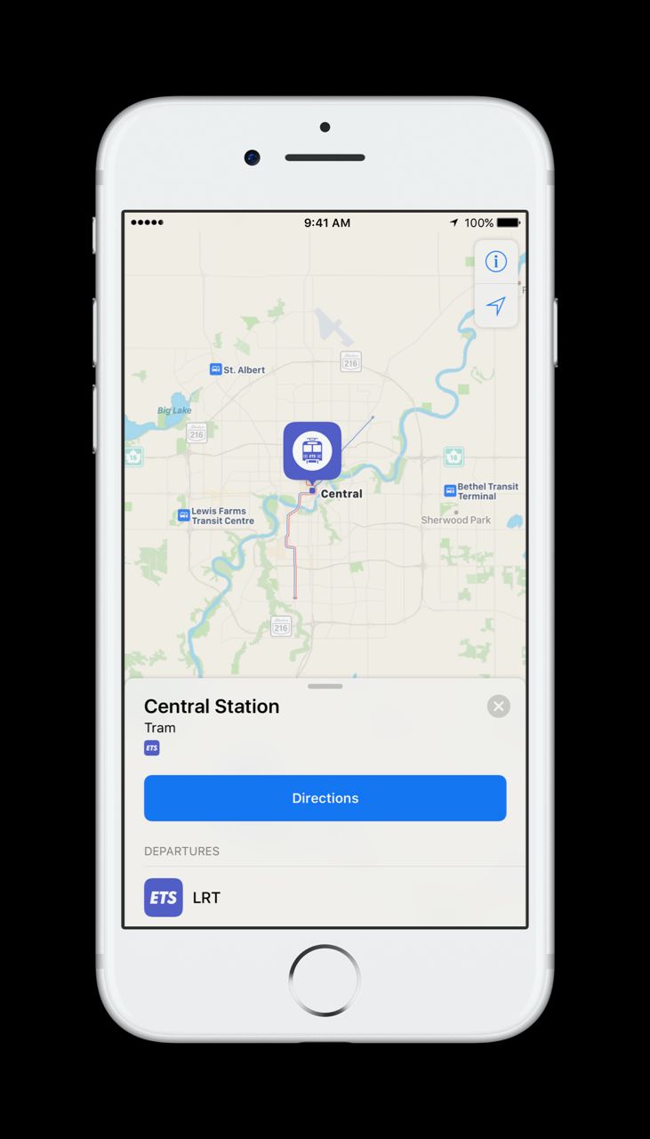
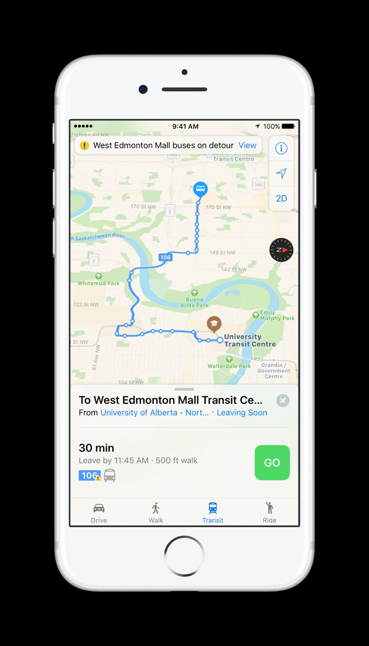
Edmonton is among three new Canadian cities Apple Maps Transit added to its app.

That means, when using Apple Maps to get directions, people will be given vehicle, pedestrian and transit route options.
Apple Maps uses local icons that matches Edmonton Transit System branding and offers real-time information on bus and LRT stops, stations and routes.
READ MORE: Weird and wonderful ways Open Data is unearthing Edmonton information
The company obtained all that information from Edmonton’s Open Data portal.
“Both Apple and Google did get in touch with us,” Smart City director Soumya Ghosh said. “But they didn’t have to; it’s open for anyone to use.”
Ghosh explained the data is available in a general transit feed format. Anyone — an individual or a business — can use the data as they wish. The city worked with Apple to make sure it understood how to best access and implement the transit information.”
READ MORE: Edmonton’s open data initiatives rank #1 among 34 Canadian cities

Get daily National news
“An Open Data platform does not only provide the transit data to Apple Maps but to Google Maps as well as the transit app,” Ghosh said. “The best part is that, because it’s open, any other app providers can use this information and configure it to their own application.
“This will eventually give the end users the ability to use the app of their own choice, not necessarily one app or the other.”
WATCH: New Edmonton bus app aims to put an end to common complaint
The two other Canadian cities rolling out on Apple Maps Transit are Ottawa and Quebec City. Apple Maps also recently launched points of interest for the three cities, showing local sites like West Edmonton Mall and Rogers Place within the map.
“It feels great that the Open Data platform is being used to benefit the citizens and the people of Edmonton,” Ghosh said. “The best part is that we did that through an existing platform rather than investing millions of dollars in creating a separate platform all together. That… makes us really proud.”
The transit feature is available on Apple Maps for people in the U.S., Great Britain, China, and more than 40 other metro areas around the world.
For a complete list of cities where transit information is available through Apple Maps, click here.


Comments
Want to discuss? Please read our Commenting Policy first.