Smoke has returned to Saskatoon with showers and thunderstorms expected ahead.

Saskatoon Forecast
Today
Smoke from B.C. wildfires has moved back into the Saskatoon area as we cooled back to 11 degrees to start the day.
Mostly cloudy skies dominated the morning as we rose up into the mid 20s before noon.
Those experiencing difficulty breathing due to smoky conditions are advised to stay indoors until smoke clears.

Get daily National news
A special air quality statement for increased pollutants in the air remains in effect for the Lloydminster area and much of Alberta.
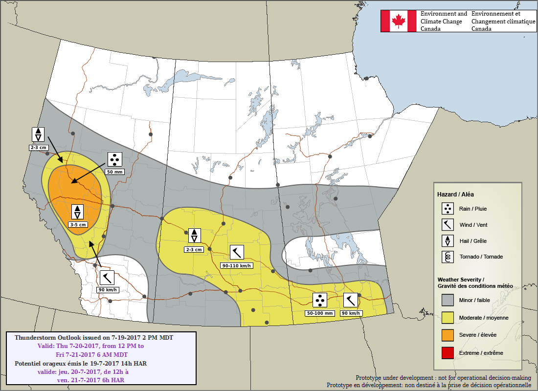
Smoke is expected to continue to funnel in during the afternoon with a chance of showers and risk of a thunderstorm late in the day as we warm up to a high in the mid-to-upper 20s.
Tonight
Predominantly cloudy skies will stick around overnight with a risk of thunderstorms both during the evening and into the early morning hours as temperatures cool back into the low teens.
Friday
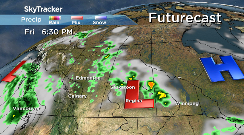
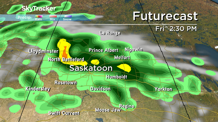
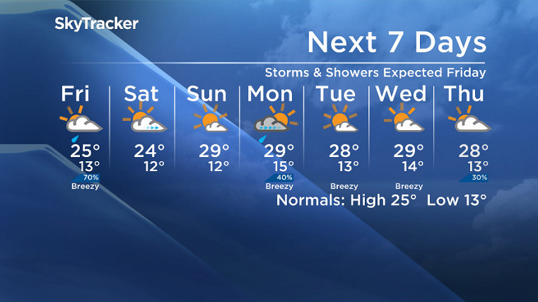
A low pressure system pushing in on Friday will bring in a very good chance of showers and thunderstorms in the morning, midday and afternoon and early evening as we warm into the mid 20s.
This moisture is much needed in what has been a pretty precipitation parched month and will help stir up the atmosphere and clear out some of the smoke.
Weekend
A slightly cooler day is on tap behind the system on Saturday with temperatures struggling to get into the mid 20s under cloudy skies to start before skies clear later in the day.
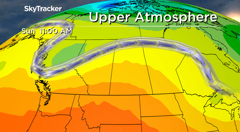
Sunday looks sunnier and warmer as an upper ridge pushes back into the area, helping boost our afternoon high up into the upper 20s, with some smoke potentially pushing back in.
Work Week Outlook
A system and associated cold front look like they’ll swing through on Monday, bringing in a good chance of thunderstorms before some sun returns into the middle of the week with highs in the upper 20s.
Carla Flaman took this Your Saskatchewan photo at Waskesiu Lake:
Saskatoon weather outlook is your source for Saskatoon’s most accurate forecast and is your one stop shop for all things weather for central and northern Saskatchewan with comprehensive, in depth analysis that you can only find here.






Comments
Want to discuss? Please read our Commenting Policy first.