

Snow is moving out with a big warm up ahead, but not without a few blips along the way.

Saskatoon Forecast
Today
The upper low that brought the snow is finally weakening with light liquid precipitation falling in parts of western Saskatchewan to end off this work week.

Saskatoon sat under mostly cloudy skies this morning with temperatures down to +2 before warming into double digits by noon.
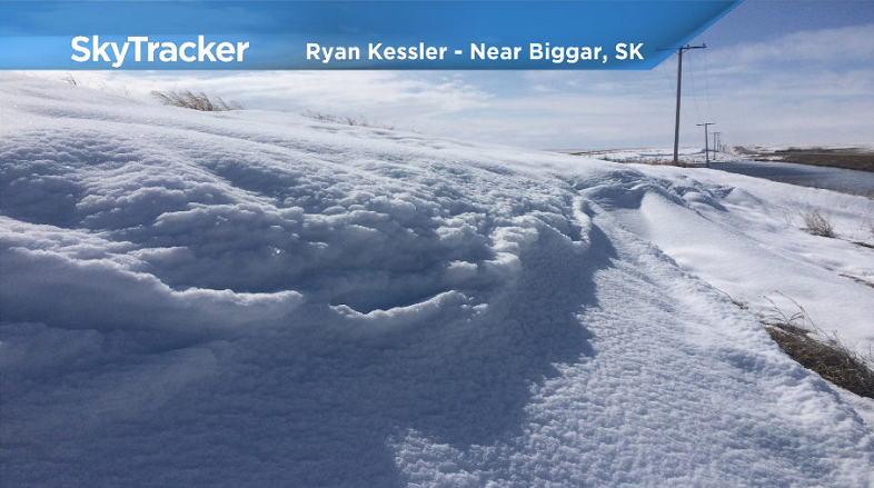
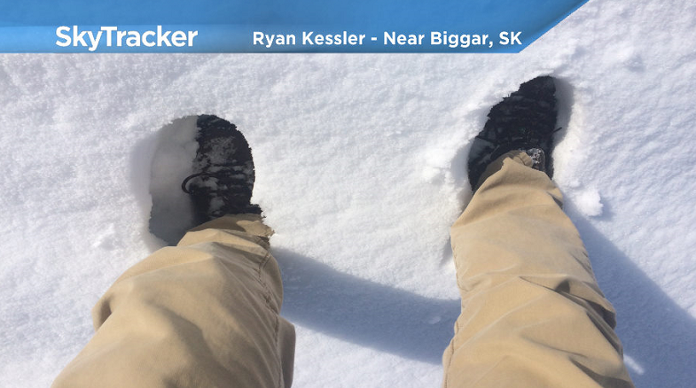
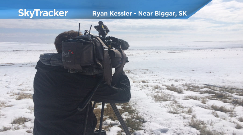
IN PHOTOS: Snow blankets parts of western Saskatchewan
This afternoon there is a good chance of some showers with the risk of a thunderstorm as that upper low starts to slowly move east over our area as we rise to a daytime high a few degrees into double digits.
Tonight
That chance of showers linger this evening before we start to get a bit of clearing overnight as we fall back to the freezing mark.
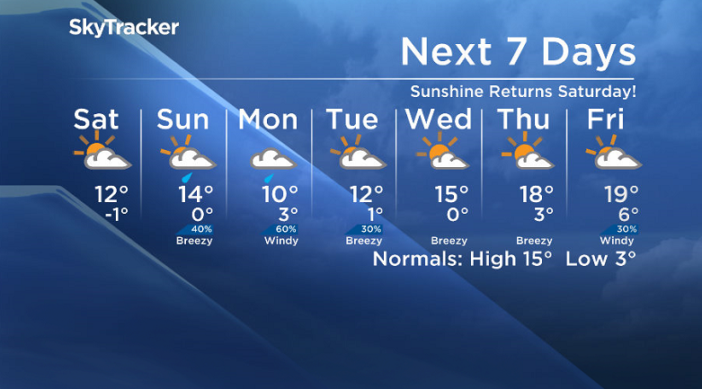
Saturday
We finally say our final farewells to our pesky upper low on Saturday and as it pulls off we’ll get into some sunshine during the day!
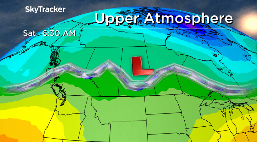
The combination of the return to the sun and a building upper ridge will help warm us up a few degrees into double digits during the day.
Sunday
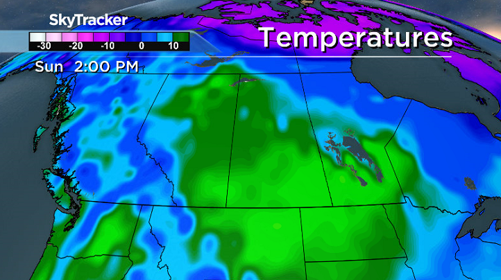
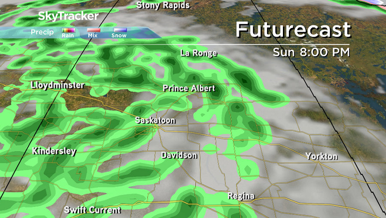
We may catch a bit of early morning sunshine on Sunday, but it looks like the next upper trough and associated low pressure system will push the clouds right back in early on with a chance of afternoon rain.
Temperatures are likely to top out in the mid-teens for a daytime high before cooling off as the rain moves in and continues into the evening.


Work Week Outlook
This next system will sit over the area on Monday and be a much faster moving feature with rain expected during and the mercury struggling to make it into double digits.
There may be some lingering rain on Tuesday before we get into some mid-week clearing and a big warm up with an upper ridge building in the heat and daytime highs into the high teens or low 20s by the end of the week!
Shelly White took this Your Saskatchewan photo in Carrot River:

Saskatoon weather outlook is your source for Saskatoon’s most accurate forecast and is your one stop shop for all things weather for central and northern Saskatchewan with comprehensive, in depth analysis that you can only find here.
Comments