
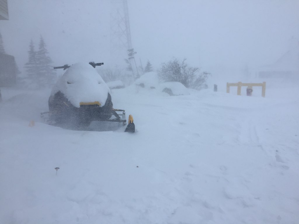
WINNIPEG — The effects of the current winter storm will mark its place in Churchill’s weather history when it finally clears on Thursday.

Environment Canada is expecting blizzard conditions to remain in that area into Thursday morning. In a weather statement issued Tuesday afternoon Environment Canada said, “With Churchill at the epi-center, this will be a long-lived and historic event.”
RELATED: More road closures across Manitoba as winter storm continues

Get breaking National news
Its warning of snow totals up to 50 cm and possible wind gusts of 120 km/h.
A special weather statement was first issued by Environment Canada at 4:33 a.m. Sunday March 5 and later changed to winter storm warning at 4:44 p.m.. Early Monday morning the warning was upgraded to a blizzard warning at 5:05 a.m. March 6. Blizzard warnings are issued when winds are 40 km/h or greater are expected to reduce visibility to 400 metres or less due to blowing snow or a with a combination of falling snow for at least six hours.


The early indications for this storm was that 40-60 cm of snow was possible but Churchill will be dealing with the worst of the winds. The most recent forecasts are calling for potentially another 25 cm snow by Wednesday night and winds gusting up to 110 km/h Tuesday evening or even into Wednesday morning.


Comments