The big warm up has kicked in with snow and positive temperatures in the forecast!

Saskatoon Forecast
Today
-37 is what it felt like with wind chill overnight before clouds built in by morning and wind chills rose to around -35 to start with temperatures down to -25.
We further warmed through the morning up into the minus teens under the clouds and a southerly wind.
A low pressure system building into Alberta will kick out ahead of it a warm front that will further fuel rising temperatures up through and out of the minus teens.

Get daily National news
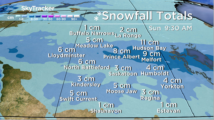
It’ll also bring some snow, which began in western Saskatchewan this morning and will move into the Saskatoon area later this afternoon and into the evening.
Tonight
Snow will continue this evening and overnight as the low pressure system swings through with two to four centimetres expected as temperatures fall back into the minus teens.
Friday
Some light snow may linger behind the system early Friday morning with messy and slippery road conditions likely.
Mostly cloudy skies will continue through the day with another chance of snow later in the afternoon into the evening hours after we’ve climbed up to a daytime high around -11.
Weekend
A weaker system is set to slide through on Saturday, which will bring in a good chance of some snow early in the day before clearing out along with the clouds later in the day.
Temperatures will rise up into mid-minus single digits on Saturday with breezy winds with gusts potentially over 50 km/h, which will help mix down the warm air.
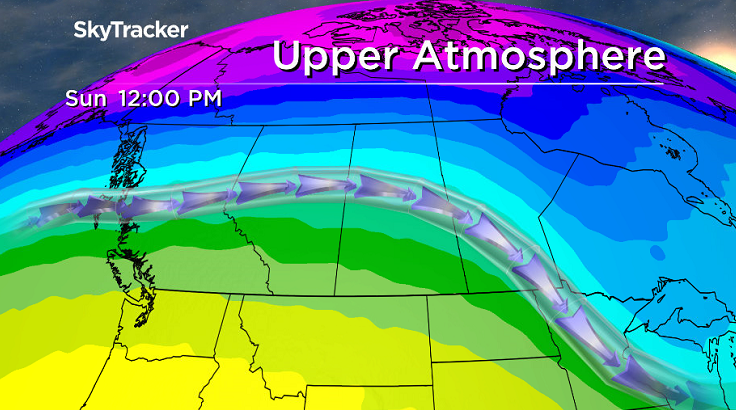
An upper ridge of high pressure will build in even more heat on Sunday under mostly sunny skies with an afternoon high likely to reach just above freezing as winds ease back a bit.
Work Week Outlook
We warm even more next week with daytime highs likely to top out above freezing every single day.
An upper ridge of high pressure will help keep us in the sunshine with just a few clouds slipping through with winds easing back mid-week after a particularly breezy Monday with gusts over 50 km/h possible.
This Your Saskatchewan photo from Russell Lake was taken by Chelsea Traill:
Saskatoon weather outlook is your source for Saskatoon’s most accurate forecast and is your one stop shop for all things weather for central and northern Saskatchewan with comprehensive, in depth analysis that you can only find here.


Comments