

We bid farewell to our work week heat just in time for the long weekend as a cold front slides through.

Severe Thunderstorm Watch

Environment Canada has issued a severe thunderstorm watch east of Saskatoon from the Humboldt and Watrous areas through Regina, down into the Estevan area.
In this region, conditions are favourable for the development of severe thunderstorms that could produce damaging wind gusts, large hail and heavy rain.
A few thunderstorms started to develop along a trough that stretches from Humboldt through Regina and then to the Radville area on Friday afternoon.
These thunderstorms will likely intensify through the early evening hours on Friday.
For the latest weather alerts download the Global News Skytracker weather app for iPhone, iPad or Android.
Saskatoon Forecast
Today
The morning started out with the loud crashing of thunder as a storm rolled through parts of the city bringing with it some showers.
Temperatures slid back to around 13 degrees overnight before rising back into the mid-teens by morning, then climbing into the high teens early this afternoon.

Get breaking National news
A few more showers are expected this afternoon with the possibility of a thunderstorm as well with temperatures attempting to rise into the mid-20s depending on the diming of the heat dampening rain.
Tonight
Partly to mostly clear skies are expected tonight as temperatures drop back toward single digits.
A cold front does sweep through overnight into early tomorrow, picking up winds tonight to sustained speeds upwards of 30 km/h with gusts up to 40 to 50 km/h at times.


Saturday
The long weekend kicks off with some sunshine and a few clouds on Saturday with westerly winds up to sustained speeds in the 30 km/h range with gusts upwards of 40 to 50 km/h.


Cooler air behind the front with push temperatures right back with a daytime high just into the low 20s being a challenge to reach.
Sunday
The cooling continues into Sunday as clouds move back in.
Winds will have eased off substantially, however the mercury will only make it up into the mid-teens for an afternoon high.
Labour Day Monday
A cloudy day with a slight chance of showers as an upper disturbance rolls through will dominate Labour Day.
Temperatures may even be a degree or two cooler in the afternoon, with an expected high once again in the mid-teens.
Work Week Outlook
The upper trough looks like it’ll stick around and keep daytime highs in the high teens or low 20s through the work week with a mix of sun and cloud and a greater chance of showers toward the end of the week.
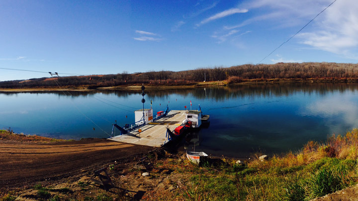
Lisa Krause took this Your Saskatchewan photo at the Wingard Ferry:
Saskatoon weather outlook is your one stop shop for all things weather for Saskatoon, central and northern Saskatchewan with a comprehensive, detailed look at your local forecast that you can only find here.
Comments
Want to discuss? Please read our Commenting Policy first.