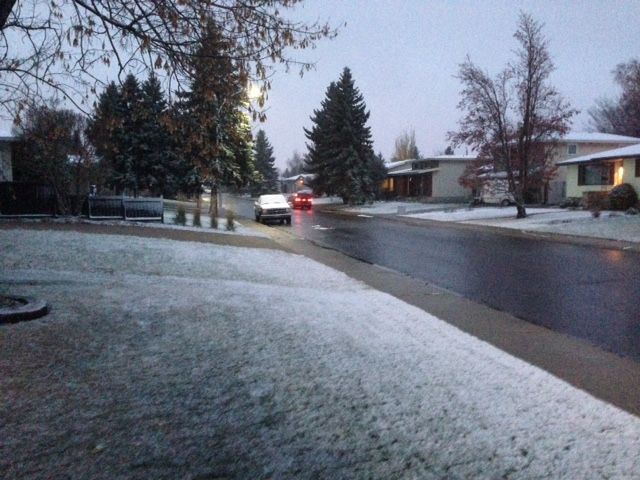
EDMONTON — We’ve been talking about the risk of snow for Monday, overnight in the early morning hours of Tuesday. We are expecting a trough of the jet stream to crash south, bringing with it a “cold low” and cold air.

Most precipitation in the upper latitudes actually starts as snow or “supercooled” water droplets (water below zero, but not frozen… weird right?!) for most of the year. Temperature typically cools with height (other than when you have an “inversion,” which means warmer air above cooler air).
As this trough ripples across Alberta, we’ll see a big dip in temperatures in all levels. With the precipitation starting as snow (as usual), as it falls through the atmosphere, if below zero temps extend to, or close to the surface, it has little chance to melt.
With near zero temps at the surface expected Tuesday morning, I think there is a chance we may see some snow flakes. The likelihood of this accumulating is slim… However, evaporation leads to cooling. So, as the precipitation falls (rain or snow), the evaporation that will likely occur, could actually cool the atmosphere to a point where snow will survive the trip to the surface.
When dealing with only a few “make or break” degrees, this cooling could be the difference of rain or snow for central Alberta come Tuesday morning.
With that being said, the warm air “leftover” from our near 13C high expected on Monday will rise into what’s called the “residual layer” above the surface (that’s your inversion!) and could lead to a partial melt, thus reducing the risk of snow at the surface if temps are still above zero at the surface. If they dip below on the surface, or objects on the surface, we could see freezing rain.
This is still five days away, and a lot can change. Just wanted to share what I’m looking at to asses this event.
I’ve included a few images:
The “sounding” (skew-t) image shows the temperature profile as it rises with height. The red line is your temperature. (That’s all you need to look at for this discussion). As you can see at the surface it’s near zero, but warms as you move up (inversion). Also, there is dry air in the mid levels (above 1,900m), but more moisture in the lower level.
The surface analysis shows temps below zero.
And the 850mb level is our temps around 1,500m above the surface.
Again, this is a forecast. We have to assume these conditions actually verify at the time of the event.


Comments