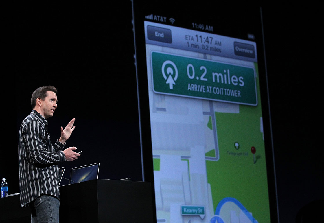
TORONTO – Apple is sending a fleet of camera-equipped cars across the world in an effort to update Apple Maps with “Street View” style imagery.

According to a new webpage quietly published by the tech giant Wednesday, the vehicles will start collecting data on U.S. and UK roads later this month.
While the webpage does not explicitly state Apple is working on street view style imagery – made popular by Google Maps – it notes that the company will blur faces or licence plates on “collected images prior to publication.”

Get daily National news
“Apple is driving vehicles around the world to collect data which will be used to improve Apple Maps. Some of this data will be published in future Apple Maps updates,” read the webpage.
“We are committed to protecting your privacy while collecting this data. For example, we will blur faces and license plates on collected images prior to publication.”
Google first released Street View in 2007 and soon after began blurring people’s faces and licence plates after multiple privacy complaints.
9to5Mac first reported on the Apple Maps vehicles in February after publishing a photo of a Dodge Caravan covered in cameras.
On Monday, Apple announced Apple Maps is getting in-app transit directions for many major cities, including Toronto – which will be the first and only Canadian city to have transit directions.


Comments
Want to discuss? Please read our Commenting Policy first.