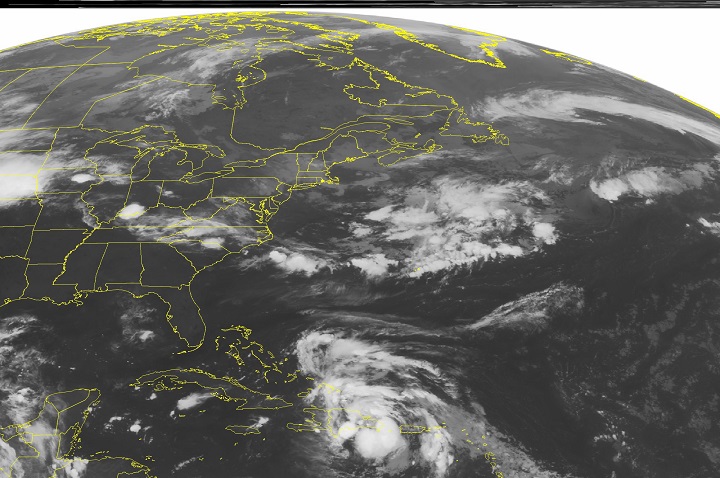
MIAMI – Tropical Storm Cristobal is expected to move northward away from the Bahamas.

The storm’s maximum sustained winds early Monday are near 85 kph. The U.S. National Hurricane Center says gradual strengthening is expected and Cristobal could become a hurricane in the next few days.
Cristobal is centred about 180 kilometres east-northeast of San Salvador and is moving north near 6 kph. The storm’s forecast track shows it staying away from the U.S. East Coast.


Meanwhile in the Pacific, Hurricane Marie is moving west-northwest as a major Category 4 storm. Marie’s maximum sustained winds are near 230 kph with general weakening expected to begin Monday night. Marie is centred about 750 kilometres southwest of the southern tip of Mexico’s Baja California peninsula.
- Train goes up in flames while rolling through London, Ont. Here’s what we know
- Wrong remains sent to ‘exhausted’ Canadian family after death on Cuba vacation
- Liberals having ‘very good’ budget talks with NDP, says Freeland
- Peel police chief met Sri Lankan officer a court says ‘participated’ in torture
Comments