


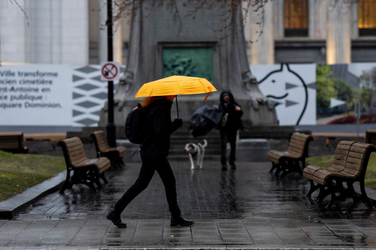
Some Ontarians and Quebecers will need to grab those umbrellas Tuesday as parts of both provinces could see up to 60 millimetres of rain depending on where people live.

In Ontario, eastern parts of the province are under special weather statements with Environment Canada forecasting a low pressure system will move eastward bringing showers and thunderstorms.
The agency warns local rainfall amounts could range from 40 to 60 mm, with Kingston, Peterborough, Picton, Parry Sound and Haliburton among those affected.

Get breaking National news
There is also the possibility of severe thunderstorms forming, along with heavy rainfall, this afternoon.
The stormy weather is expected to clear from west to east this afternoon or early this evening, Environment Canada said.
Next door in Quebec, special weather statements and yellow rainfall warnings are in effect for southern parts of the province due to a “nearly stationary” warm front that’s associated with a low pressure system moving south of the border.
- Transit troubles a key issue for Winnipeg voters as civic election looms
- ‘This little bit of perfection’: Canadian astronaut Joshua Kutryk on seeing Earth from space
- ‘Catastrophic’ brake failure led to Columbia Icefield rollover that killed 3 people
- Montreal announces new metro security measures, 5% service increase


According to Environment Canada, the Bois-Francs and Eastern Townships areas could see 30 to 50 mm between Tuesday morning and late Wednesday night or early Thursday morning.
Yellow warnings are also in place in the Montreal, Vaudreauil and Monteregie areas from Tuesday morning until the evening.
In those areas, the rainfall could reach 40 to 60 mm, with the agency warning water will likely pool on roads and in low-lying areas. Visibility could also be suddenly reduced at times.


Comments
Want to discuss? Please read our Commenting Policy first.