
TORONTO – At first it was an interesting weather phrase: “Polar vortex.” It sounded like something out of the movie The Day After Tomorrow where the world faced a bitter cold that threatened all mankind. It was kind of exciting.

But that’s enough now.
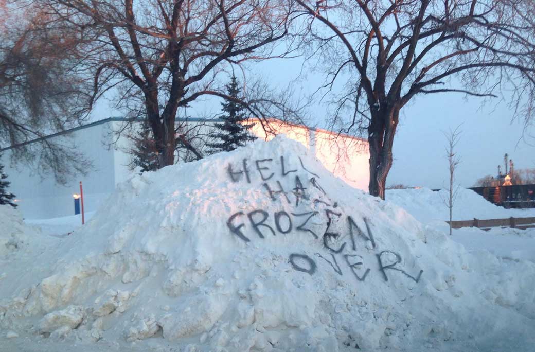
The deeply frigid Arctic air that has descended across eastern Canada — for the second time this month — is like an unwanted house guest who refuses to take the hint: Go home.
READ MORE: Will this be Canada’s coldest winter?
From Manitoba to Quebec, temperatures have been well below seasonal since the start of the week, and it’s all thanks to that meandering polar vortex.
Though a catchy meteorological phrase, this is isn’t a new winter phenomenon. It’s just that, usually the polar vortex is a bit of a homebody and stays well away from us in the south.
“Usually it spins over the north pole, further north,” said Environment Canada warning preparedness meteorologist Marie-Eve Giguere. “This year there was a weakening in the circulation, so it’s kind of sitting closer to our region this year. It’s always there… Now it’s just sitting over our region and it’s not moving anywhere.”
It’s Manitoba, Ontario, and Quebec that have been struggling with the unwelcome house guest.

Get daily National news
On Thursday afternoon, the temperature in Winnipeg was still -22 C, with an expected high of -15 C. This was welcome news, however, after the city experienced temperatures of -25 C, with wind chill values near -40 C on Wednesday — cold even for the city with the well-earned name “Winterpeg.” The normal daytime high at this time of year is -12 C.
Northern Ontario was in the same boat with daytime highs of near -20 C since Monday.
In Toronto, the city is still under an extreme cold weather alert as daytime temperatures there rose to just -15 C on Thursday. The overnight temperature is expected to be -20 C. A wind chill warning was also issued for the city on Thursday morning warning of temperatures that would feel closer to -30 C into Friday.
And in Quebec, it’s much of the same. Most of the province is under a wind chill warning as temperatures hover near -19 C with a wind chill of near -30 C.


READ MORE: Road conditions poor as Manitoba deals with extreme wind chills
So what do you do with an unwanted house guest? Wind a clock to give them the hint? Hustle them out the door?
Sadly, we have no recourse. We’re stuck with the cold.
Though, we will get one whole day of reprieve.
Winnipeggers can expect a balmy high of -3 C on Friday; Toronto will see three days of “warmth” with a daytime high of -8 C on Friday, -2 C Saturday and -6 C on Sunday; Montreal will warm up to -6 C on Saturday.
But, of course, there’s a catch: snow. It won’t be a lot, but it will be blustery which could cause whiteout conditions in some areas.
And then, after heading back home to recharge, the polar vortex returns.
Colder temperatures will befall the provinces once again beginning on Sunday in Manitoba before sweeping through to Quebec. And, Giguere, noted, the deep freeze is expected to last into the early part of February.
And we’re still not halfway into winter. Let’s hope the second half sends this visitor packing.
Comments
Want to discuss? Please read our Commenting Policy first.