
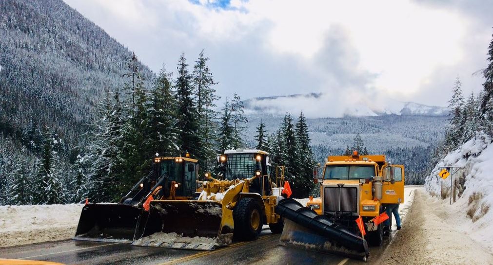
Tuesday morning will be a snowy one on some busy B.C. mountain passes.

“Heavy snow will ease to periods of light snow Tuesday morning,” Environment Canada said in its warning.
“A cold front will pass through Tuesday afternoon and produce another round of flurries, at times heavy.”


At the summit of the Coquihalla Highway, Environment Canada is predicting snowfall amounts of around 15 centimetres. It’s expected to be heavy and wet snow, and could potentially make the roads slick.
From Eagle Pass to Rogers Pass, the Trans Canada was expecting to see 15 to 20 centimetres of snow between Monday night and Tuesday afternoon.
Comments
Want to discuss? Please read our Commenting Policy first.