
After a long stretch of abnormally warm winter weather, frigid temperatures have set in.

According to Environment Canada, the average high temperature for this day in the Central Okanagan is 0.6 C, while the average low is -4.4 C.
Across the Okanagan, temperatures were nowhere near average, plunging below -20 C.
At least one Okanagan record is set to be toppled and that’s in Penticton, where the previous daily record is -20 C, set in 1950. The temperature there plummeted to -22 C earlier in the day.
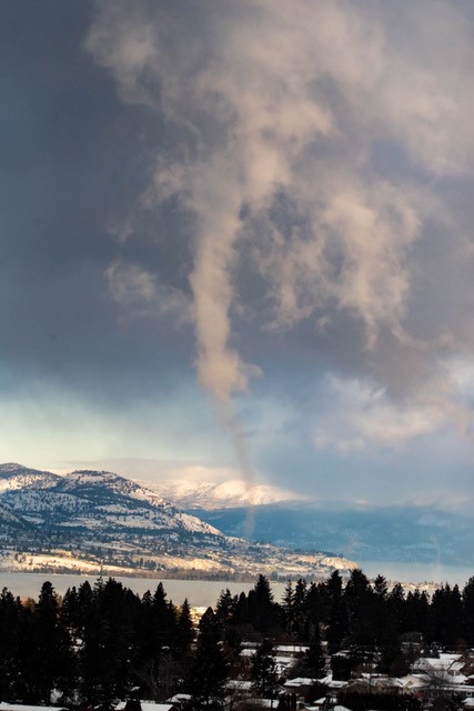
While there are many problems arising in homes, on roads, ski hills and job sites from this unusually chilly stretch of weather there’s one positive: It makes for some interesting photos, particularly on Okanagan Lake.
Those are what Global News meteorologist Peter Quinlan described as “steam devils.”


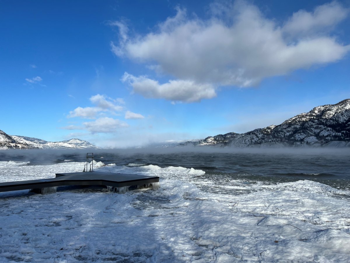


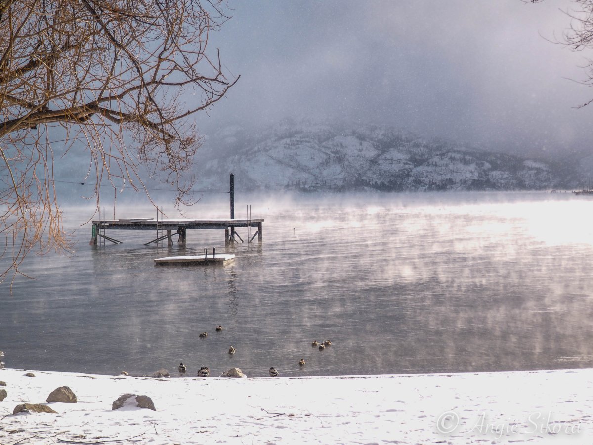


“These are steam devils that form on cold days where the lake is much warmer than the air so the air adjacent to the lake gets warmed by the water and rises rapidly and can start to rotate and it goes up into the sky creating a vortex,” Quinlan said. “It’s similar to how a dust devil forms.”
While the cold is expected to linger in the Okanagan Valley for the next couple of days, it’s even chillier in the mountains above.
Environment Canada says highway passes in B.C. are going to experience extreme cold for the next 72 hours, and that motorists should expect wind chill values in the -20 to -50 range.
“An extremely cold arctic ridge lies over B.C.,” Environment Canada’s recent alert said. “Temperatures in the -30s C combined with moderate winds will create dangerous windchill values of -35 or lower.”
Conditions should start to warm up on Sunday.
Comments