

Multiple weather warnings have been issued for an incoming and robust frontal system.

Environment Canada is projecting not only high winds along the North Coast, but also snowfall for many parts of the province, including Vancouver Island, Metro Vancouver and the Fraser Valley.
“Rain will develop this morning and become mixed with snow later this morning,” said the national weather agency. “Wet snow may reach sea level, but generally no significant accumulation is expected for most areas.
“Significant warming is expected early this evening and any snow will transition back to rain as freezing levels rise to near 2000 metres.”

Get breaking National news
For Vancouver Island and the Sunshine Coast, 2 to 4 cm is possible over higher terrain and inland areas near the coast. Further inland, 5 to 10 cm is possible over higher terrain.
Wind gusts of 70 to 90 km/h are also in the forecast for Victoria and the Southern Gulf Islands, though the winds are expected to abate early in the evening as the front moves inland.
For Metro Vancouver and the Fraser Valley, accumulations of 0 to 5 cm are possible for elevations up to 200 metres. For elevations between 200 and 400 metres, such as the North Shore, Coquitlam, and Burnaby Mountain, up to 5 cm is possible before the snowfall changes to rain in the evening.


“The snow will initially melt on contact with the surface, reducing the total snowfall accumulation,” said Environment Canada. “However, where precipitation rates are highest, near 5 cm of snow will accumulate.”
Along the Central Coast and North Coast, strong winds, with gusts of 70 to 110 km/h, are expected to early Saturday afternoon.

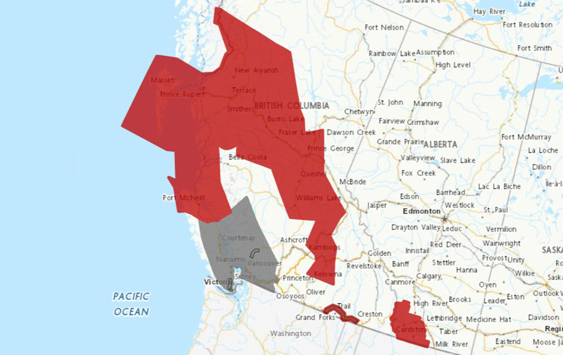
Heading inland, a large swath of the Interior, stretching from Prince Rupert and Terrace in the north to Salmon Arm and Vernon in the south, is under a snowfall warning.
Environment Canada is projecting heavy snowfall at times, with amounts up to 10 cm, before easing later in the afternoon.
A section of Highway 3, from Grand Forks to Creston, is also under a snowfall warning, with 15 cm possible.
Comments
Want to discuss? Please read our Commenting Policy first.