
This year’s election is shaping up to be B.C.’s most exciting in more than a decade: Liberal Premier Christy Clark is fighting for her political life; the NDP is pushing for its first electoral victory since 1996 – led by Adrian Dix, former right-hand man to disgraced former NDP premier Glen Clark.

A week into the campaign, voters have already seen one candidate dropped for her offensive comments online; a vow to ban corporate and union donations; promises of dividends for regions heavy on energy industry development.
But what’s the political landscape like on a granular level?
These maps break the 2009 election down by the province’s 10,184 voting areas, giving a far more nuanced and local picture of the election than results by riding are able to show. Most polls were won by the Liberals or NDP, with about two dozen carried by the Greens. About a hundred polls in the province were tied, in all cases between the Liberals and the NDP. Areas with no results, mostly in remote areas, are grey.
We also have three maps that look at the Liberals, NDP and Greens in isolation, and a fifth that maps turnout.
Type in your postal code to see results for voting areas in your riding; look around the province to see which ridings were most closely fought in 2009, and which swung staunchly left or right.
Read: profiles of BC’s most Liberal-friendly redoubts.
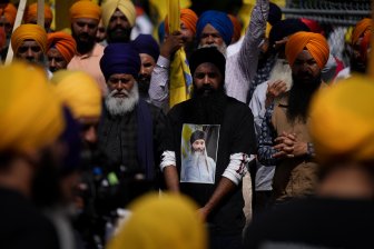
- RCMP arrests alleged hitmen accused of killing B.C. Sikh leader
- Fall COVID-19 vaccine guidelines are out. Here’s what NACI recommends
- Some 2019 candidates ‘appeared willing’ to engage with foreign interference: Hogue inquiry
- Thousands of Canada’s rail workers have a strike mandate. What happens now?

Comments