
There are many factors to consider when predicting fire behavior; one of them is weather.

“From the fire perspective – fire is dynamic, fire changes from moment to moment depending on the weather conditions,” Leslie Lozinski, a wildfire information officer for Alberta Agriculture and Forestry, explained during a news conference Tuesday.
“If the humidity has a shift, the wind has a shift (and) the temperature has a shift. That all has direct bearing on the fire activity.”
That explanation was echoed by Mike Flannigan, a professor of Wildland Fire Science at the University of Alberta.“You need three things for fire: fuels, ignitions and weather.
All three are required, but I feel weather is the most important,” Flannigan said.
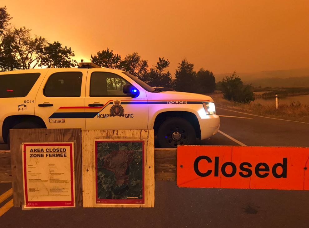
The Waterton fire crept closer to the park overnight Monday and early Tuesday, prompting an evacuation order for much of the southwest corner of the province.
Waterton has been extremely dry this summer with unusually warm temperatures. It is also historically windy. According to Environment Canada, peak wind gusts from Sept. 9 to Sept. 11, 2017 were between 76 km/h and 93 km/h.
Flannigan described the conditions overnight as almost Chinook-like, which created an unusual situation.
“Typically, fire management (teams) expect nighttime to be fairly safe. Temperatures drop, winds drop and the relative humidity will go up.”
But last night, the opposite happened.
Wind speeds from Monday at 9 p.m. to Tuesday at 2 a.m. did not drop below 20 to 40 km/h with gusts between 40 to 76 km/h. The temperature did not fall below 20 C until 4 a.m.
Those are also within the hours the fire was said to progress faster than originally anticipated.
FUEL FOR FIRE
According to Flannigan, fire fuel can be things like trees, shrubs and grasslands, and weather also plays a role in this area.
“The most critical aspect of fuel is the moisture levels.”
The southwest corner of Alberta has been incredibly dry this summer. According to Agriculture and Agri-Food Canada, in the 60-day period between July 14 and Sept. 11, 2017, between 53 and (at least) 56 days* have had less than 0.5 millimeters of rain (*the map does not show values greater than 56 days). This is a significant departure from normal precipitation values from the same period.

The “60-day departure from average precipitation” from Agriculture and Agri-Food Canada is literally off the charts. The southwest corner of the province is more than 75 millimeters below normal precipitation averages. The data does not qualify values greater than 75 millimetres below average.


HEAT
Flannigan told Global News all you need for a forest to support a fire is a period of seven to 10 days of warm, dry weather.
According to Environment Canada, much of southern Alberta has been unseasonably warm, including the region around Waterton.
The average high temperature for Waterton for this time of year is 17 C. The daily high temperature has been between 21 C and 32 C for September. The average high temperature for the month of August is 23 C. There were 22 days above 23 C that month, with 20 of those days above 25 C. According to Environment Canada, the average temperature has been between two to seven degrees above normal when looking at the 26-year average. Agriculture and Agri-Climate Canada is reporting some areas in the southwest corner of the province saw 67 days with high temperatures above 25 C since April.

FORECAST
The forecast is calling for a drop in temperatures within the next 24 hours, along with a chance of scattered precipitation over the next few days. A cold front is expected to move through the region overnight Tuesday bringing a good chance of rain that could last until Saturday.
According to Lozinski, crews on scene are factoring in this change as they continue to battle the fire.
“We had extreme fire behavior yesterday and the winds are forecast to be strong again (today) so we are preparing for another day of extreme fire behavior before a potential change in the weather.”
Flannigan said a drop in temperatures and rain will help crews battling the fire, especially because it will allow them to build guards and tackle spot fires.
“A fire as large as the Kenow fire would need at least 50 millimetres to put it out.
Even with that, the fire may not actually go out until the area sees significant rain or snow.”
Want your weather on the go? Download Global News’ Skytracker weather app for iPhone, iPad and Android.
- ‘Significant risk’: How will wildfires spread over the next two months?
- As Canada eyes AI growth, could electricity demands fuel climate change?
- London Drugs issues apology, says no evidence of compromised data in cyberattack
- B.C. fruit likely to be in short supply and expensive this year: produce retailers
Comments