
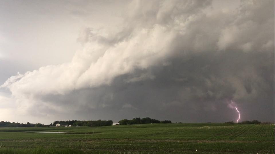
WINNIPEG — Severe thunderstorm watches have been issued in southern Manitoba and the Interlake. They were extended Friday evening to include Winnipeg.

A cold front sweeping across southern Manitoba is expected to trigger thunderstorms. Some of these storms could become severe meaning they could contain heavy rain, large hail and damaging winds. According to Environment Canada, hail and strong winds are the most likely if severe weather hits.
As the cold front moves east into the evening, the Red River Valley will become a target. Winnipeg and the surrounding area could see severe thunderstorm activity as well.


As of Friday morning, rainfall totals looked to be in the 5-15 mm range for Winnipeg but with thunderstorms these numbers could change.
- Toronto Pearson gold heist: Ontario man arrested at airport after arriving from India
- A ‘zombie’ virus is raging among raccoons. What to know
- Could notwithstanding clause be used on abortion? Poilievre’s office says ‘never’
- Renters so far more ‘vulnerable’ than homeowners amid higher interest rates. Why?
Comments