
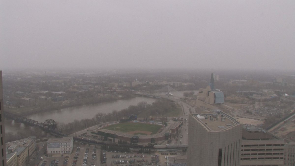
It’s looking like Winnipeg is going to miss another spring snow storm. Snowfall warnings are in place for the extreme southeast corner of the province with Winnipeg more on the cusp, likely limiting the snowfall amounts to 2 to 5 cm instead of the potential 25 cm some places could see by the end of the day.

READ MORE: Snow storm rolls across Manitoba, leaving behind up to 25 cm of snow
Sunday when I was at the office, it was looking like this system, while focused on the southeast corner of the province, would leave a broader area of more significant snow. Now, the snow looks more focused on the extreme southeast corner.
WATCH: Timelapse of storm moving into Winnipeg Monday

Most of the snow we’ll see this week will be during the day, starting to ease up at night.
RELATED: Looking back at the Winnipeg blizzard that led to the Flood of the Century


The rest of the week will likely stay cool. Mornings will be below 0° and daytime highs will stay in single digits. It probably won’t be until the weekend at the earliest before we get back into double digit daytime highs. The cooler temperatures is where the weather models agree. The differences are whether there will be some more rain or snow later in the week.
The GEM model is our Canadian model and the primary one used for most local forecast. It’s looking like a standout with the potential for rain and/or snow later in the week. Not just a little snow too, close to 20 cm. Other models aren’t seeing the same thing and have no precipitation later this week.
The chance of seeing more snow looks slim but it’s worth mentioning that there’s the chance of some rain or snow showing up. Because it’s just one weather model predicting this weather event, it would also be unlikely we would get the full 20 cm if any precipitation did show up.
- Fall COVID-19 vaccine guidelines are out. Here’s what NACI recommends
- Thousands of Canada’s rail workers have a strike mandate. What happens now?
- Some 2019 candidates ‘appeared willing’ to engage with foreign interference: Hogue inquiry
- Bird flu: Experts urge more surveillance in Canada — before it’s too late
Comments