
UPDATE: All advisories mentioned in this story have ended

Environment Canada expects a major winter storm to hit parts of southeastern Saskatchewan.
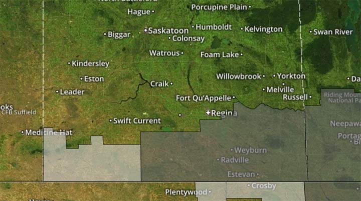
A winter storm warning has been issued in southeastern parts of the province as significant snowfall, heavy at times, and blowing snow are expected to begin Monday morning and continue through Wednesday.
READ MORE: New Brunswick storm shines light on need for emergency preparedness kits
Total amounts of 15 to 30 centimetres are possible, with the highest amounts most likely over the Parkland region.
While some uncertainty remains on the exact timing of the heaviest snow, Environment Canada officials said there is potential for sustained blizzard conditions over parts of the area.
The snow should gradually ease Wednesday night before cold arctic air sweeps in with lows below -20 degrees Celsius expected by the end of the week.
READ MORE: Sask. government urges safety in 2016 Cold Weather Strategy
Travel is expected to be hazardous due to reduced visibility. The federal agency is asking motorists to consider postponing non-essential travel and prepare for deteriorating road conditions.


For weather on the go download the Global News Skytracker weather app for iPhone, iPad or Android.
Winter storm warning ENDED for:
- Carlyle – Oxbow – Carnduff – Bienfait – Stoughton
- Assiniboia – Gravelbourg – Coronach
- Estevan – Weyburn – Radville – Milestone
- Fort Qu’Appelle – Indian Head – Lumsden – Pilot Butte
- Moosomin – Grenfell – Kipling – Wawota
Blowing snow advisory ENDED for:
- Shaunavon – Maple Creek – Val Marie – Cypress Hills
- RCMP arrests alleged hitmen accused of killing B.C. Sikh leader
- Fall COVID-19 vaccine guidelines are out. Here’s what NACI recommends
- Some 2019 candidates ‘appeared willing’ to engage with foreign interference: Hogue inquiry
- Thousands of Canada’s rail workers have a strike mandate. What happens now?
Comments