
WATCH ABOVE: Margeaux Morin has our weather forecast for Thursday, July 2, 2015.

EDMONTON – Do you have a road trip in the works or camping plans for the weekend? If so, it would be advisable to keep your eyes on the forecast through central and southeast Alberta Friday.
Recent rainfall and warm temperatures are projected to destabilize the atmosphere in central and east central parts of province. As such, several forecast models have been agreeing all week that there is potential for severe thunderstorm development in a rectangular area extending south of Edmonton to Red Deer, east to Coronation, north to Lloydminster and back west to Edmonton.
With ample energy and moisture contained at the surface, almost all of the necessary ingredients for severe thunderstorms are present. All we need is a trigger – and that comes in the form of a cold front mid-day Friday that is forecast to swing in from the northwest.
“All indicators are pointing towards a strong upper level flow, with the possibility of creating rotating ‘supercell’ thunderstorms,” said Global Edmonton’s Weather Specialist Margeaux Morin.
“These types of storms can lead to large hail, heavy showers, damaging wind gusts and isolated tornadoes.”
One positive product of this system could be the heavy isolated showers for parched regions southeast of Edmonton. General rainfall amounts could total in the 10-20 mm range with localized pockets possibly picking up considerably more.


The forecast could change as the predicted event draws closer, but at 24 hours out, it is definitely worth keeping an eye on.
“Model outputs have projected for Edmonton to stay on the low end of precipitation totals, but with the uncertainty of isolated storm tracks, we could see a substantial soaker if a single cell tracks over the city,” said Morin.
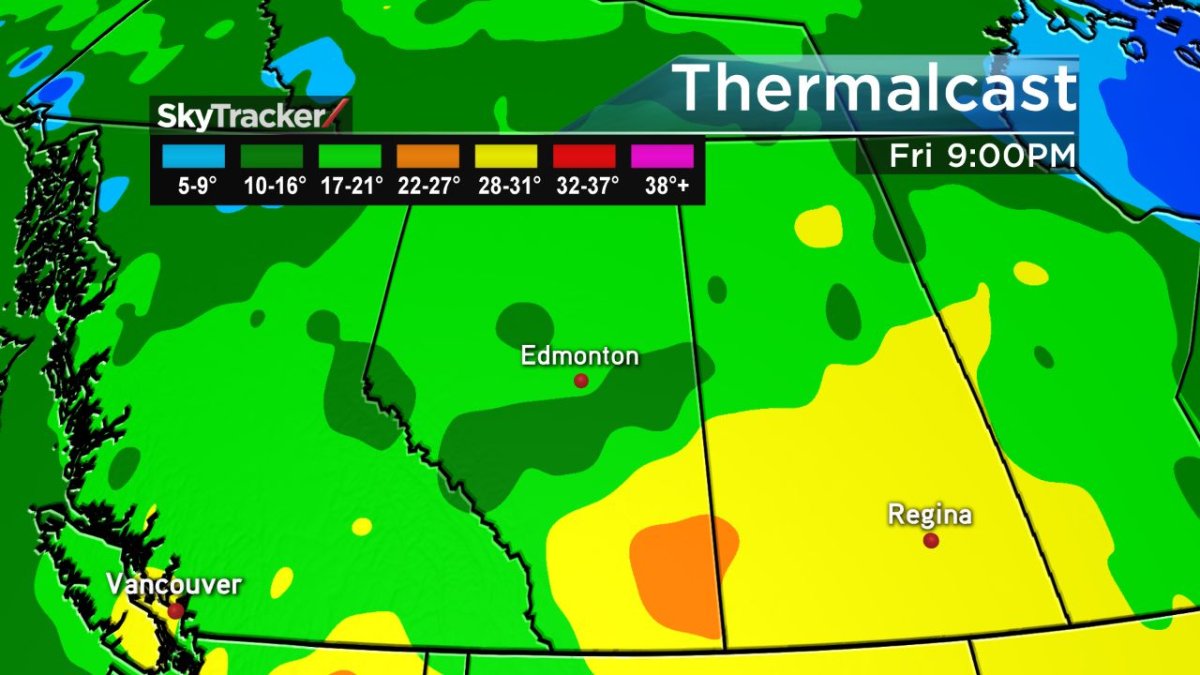
In the wake of these possible severe storms, a cooler air mass will swing in from the northwest leaving the majority of Alberta with temperatures in the low 20s with scattered showers possible for next week.
Comments