
TORONTO – Wherever you are in Canada, step outside, take a deep breath and be grateful.

Sure, you may have snow or rain, and it may be an inconvenience, but at least it’s not last December.
Across the country, temperatures are near normal. There is some chillier weather coming to parts of the Prairies, but it’s not expected to last. And that’s what any season is like: you get below-average temperatures, normal temperatures and above-normal temperatures over a long period. But last year it was just cold.
READ MORE: Will there be a polar vortex this winter? Yes. Because there always is
Do you remember how cold it was?
It all started in the west.
In Calgary, the cold descended right at the start of December. The city had already hit a chilly daytime high of just -24.7 on Dec. 6 and a low of -27 C. And the city had already had a snowstorm. It did warm up a bit by the middle of the month, but by the end, that chilly Arctic air had made a return with nighttime temps dropping down to almost -20 C. To put things in perspective, the city’s normal daytime high around the end of December is -2 C.

But nobody had it worse than poor Winnipeg.
On Dec. 23 the city reached a high of just -23.4 C and a low of -35.6 C. That’s far below the already cold normal of 12 C (high) and -22 C (low). Sadly, that wasn’t the coldest it was that month: The city reached an extreme low of -37.9 C on Dec. 31.
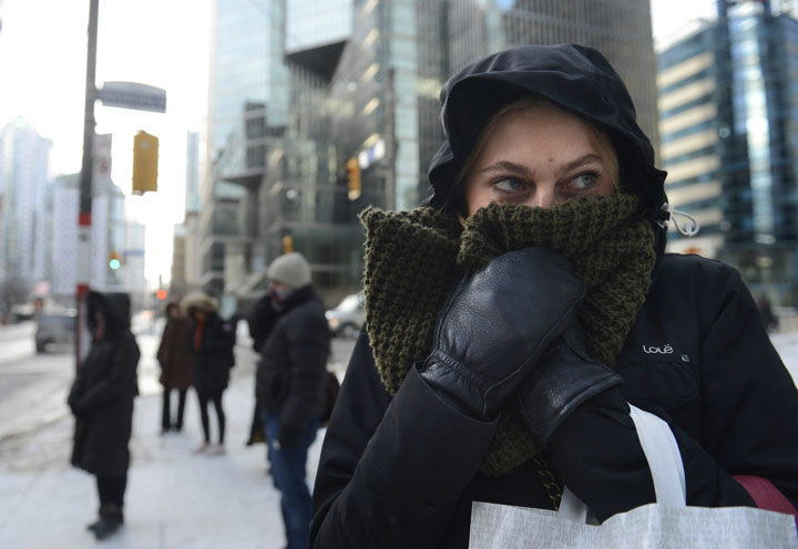
And Toronto — the city that most Canadians tease for not having chilly winters — had it bad last year.
READ MORE: WATCH – Wild winter weather moments of 2014
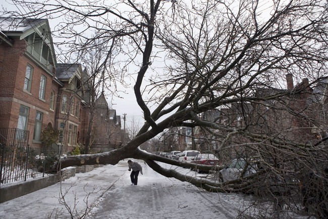
By mid-December Torontonians had already seen a low of -17.8 C and a high of -11.1 C. It warmed up just enough to produce the most significant ice storm the city had ever seen, but by Christmas night the mercury had fallen to -17 C (the city’s average nighttime temperature is about -8 C at the end of December).
And the new year didn’t give residents much hope for more seasonal weather. On Jan. 2 the high only climbed to -15.2 C. The entire month of January the city only had 7 days above 0 C and most of the lows fell to -10 C or colder, with an extreme of -24 C. Torontonians could now empathize a little more with Winnipegers. This year, you might hear people bemoaning the fact that it’s going to be a green Christmas.
And in Montreal it was -20 C in mid-December and then, after a brief warm-up, temperatures once again plummeted in January to -20 C or colder some nights.
The cold hit the east coast too. In Halifax, the temperatures hit -20 C by mid-December, climbing slightly by New Year’s Eve. The only warm period in January was from the 11th to the 18 when temperatures actually rose to 12 C some days. But that didn’t last long: frigid temperatures were back by Jan. 20 with lows of -15 C.
But so far, this December has been more typical: some cold, some snow, some warmth and the next two weeks look to be the same.
Comments