
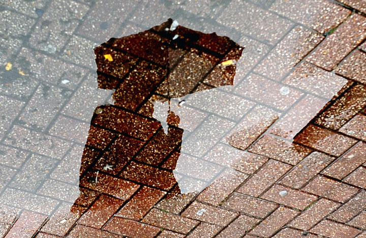
TORONTO – Hope you packed your umbrella this morning: Wednesday is going to be a wet one across much of the province.

Heavy rain is expected across the GTA, and parts of southwestern Ontario are under a severe thunderstorm watch.
But nowhere will it be worse than in northern parts of Ontario.
A low pressure system is tracking northeastward from Iowa toward the Great Lakes which will bring significant rain to the region.
As a result, Environment Canada issued rainfall warnings for Sault Ste. Marie, Timmins, Wawa, Kirkland Lake, Geraldton and surrounding areas.
READ MORE: Ontario: Is this the summer of rain?
The system will bring heavy rain, with 50 mm or more falling in some areas. There is the possibility of flash flooding, so it is advisable to stay away from rivers or streams. As well, do not try to drive through flooded roads as it may be difficult to gauge how deep the water is.
The rain will taper off this evening as it heads into Quebec.
Meanwhile, in southern Ontario, areas north and west of the Greater Toronto Area will also see significant rainfall.
A special weather statement was issued for Barrie, Orillia, London, Sarnia, Windsor and surrounding areas, which could see 20 to 40 mm of rain with the possibility of higher amounts. Thunderstorms and high winds are also a possibility.
To get real-time weather for your area, download the Global News Skytracker weather app.
Comments