
Moisture from the remnants of Hurricane Hilary will push into the Okanagan early in the week, bringing the risk of some thunderstorms and showers.

After Monday morning’s sun and smoke in the Okanagan, the risk of showers and storms will increase late in the day after temperatures climb into the mid-20s C.
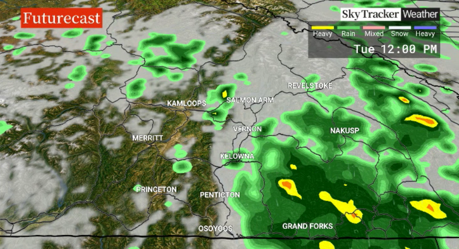
The risk of showers lingers Monday night into Tuesday with the chance of an afternoon thunderstorm and lots of dry breaks during the day.
Smoke will also linger across the region, reducing air quality, as the mercury climbs to around 24 C late in the day.
Skies will clear after a chance of showers Wednesday morning with a high around 23 C.
A mix of sun and cloud with thick smoke will finish the week as afternoon highs climb from the mid-20s to the upper 20s by Friday.
It’s expected that 30 C heat is likely to return for the weekend under sunny skies and smoke.


For weather on the go download the Global News SkyTracker Weather App for iPhone, iPad or Android.
- Toronto’s construction season traffic is ‘unacceptable.’ Is there a better way?
- More foreign interference action coming after inquiry report, India arrests: LeBlanc
- Nijjar arrests: Indian foreign minister says Canada welcomes ‘criminals’
- B.C. man losing vision needs to find home for treasured book collection
Comments