
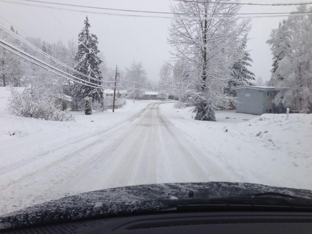
EDMONTON – You may want to be extra careful on the roads Friday night, as the roads are supposed to be slick.

“The roads will be in poor shape, after the system brought rain to the Capital Region on Friday,” said Global Edmonton‘s Chief Meteorologist, Nicola Crosbie. “Freezing conditions will prevail overnight Friday, producing hazardous driving conditions for the evening and Saturday morning.”
It’s not just slippery streets in store for Edmonton. Crosbie says to say goodbye to the balmy days we saw this week, because a cold front coming down from the north will be packing quite a punch.
Environment Canada has issued a heavy snowfall warning in parts of western and southern Alberta. The snowfall will likely end by Saturday morning, with up to 15 centimetres of snow expected.
In the Edmonton area, Crosbie explained that the arctic airmass moving in will cause temperatures to fall throughout Saturday. Winds of 30-40 km/h are also possible, which may create windchills in the -20 degrees Celsius range by Saturday night.


READ MORE: City encourages Edmontonians to embrace winter
The arctic air is set to stick around until at least the end of next week, leaving us with forecasted daytime highs of -15 degrees Celsius.
To get your weather forecast on the go, download our Skytracker Weather App.
- Fall COVID-19 vaccine guidelines are out. Here’s what NACI recommends
- Thousands of Canada’s rail workers have a strike mandate. What happens now?
- Some 2019 candidates ‘appeared willing’ to engage with foreign interference: Hogue inquiry
- Bird flu: Experts urge more surveillance in Canada — before it’s too late
Comments