
The risk of flooding near Grand Forks, B.C., is receding, as water levels drop from a previous high.

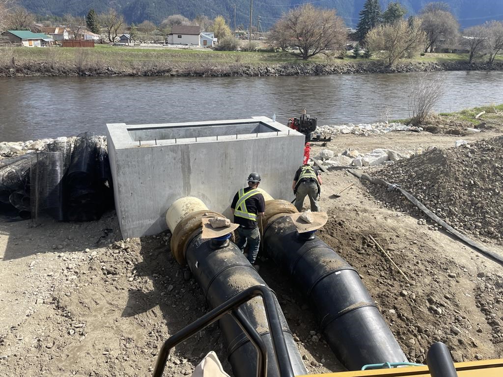
After heavy rain and rapid snowmelt, the BC River Forecast Centre said Monday that water levels in the Boundary Region peaked, including on the Kettle and Granby rivers, which run through Grand Forks, prompting them to reduce the streamflow warning to an advisory.
Additionally, West Kootenay and East Kootenay were experiencing lower stream flows, while flood watches in the Okanagan, Whiteman’s Creek and Similkameen have been downgraded to high streamflow advisories.

“River levels have now reached their peak levels from last week’s snowmelt and rainfall over the weekend,” the river forecast centre said.
“Rivers are expected to recede into the middle of the week.”

Get breaking National news
Temperatures are expected to stay cool earlier in the week. Still, they are expected to rise significantly by week’s end and that will cause additional rises in rivers due to higher-elevation snowmelt.
The Regional District of Kootenay Boundary experienced the most intense flooding Saturday; 40 properties were on evacuation order in and around Grand Forks.
- Edmonton’s stormwater system strained after repeated heavy rain
- First Nations chiefs call for inquiry into Ontario wildfire response
- How the Northern Tornadoes Project helps verify twisters as Alberta on track for record year
- Inquiry hears avalanche danger moderate on day of 2021 fatal Banff snow slide


On Sunday, the district rescinded the evacuation orders for 34 of those properties within the Grand Forks city limits, but also added one more rural property near the city to the evacuation orders list.
A flood warning remains in place for the Lower Thompson Region, including Cache Creek, where a state of local emergency was extended to at least May 13.
— with files from The Canadian Press
Comments
Want to discuss? Please read our Commenting Policy first.