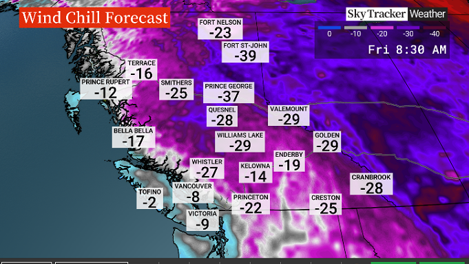
Very cold Arctic air resided over all of western Canada again on Thursday.

Global BC meteorologist Mark Madryga said temperatures across B.C. were commonly 10 to 15 degrees below late February averages, and that some areas were close to breaking records.
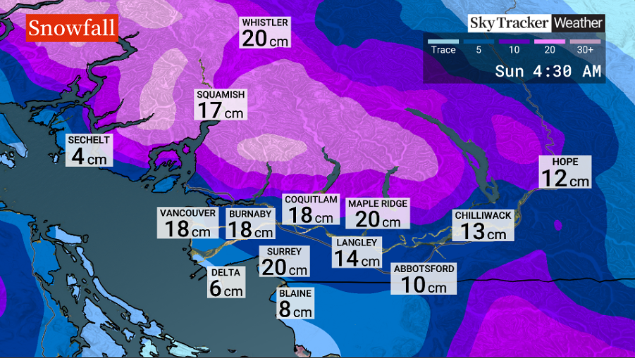
Environment Canada issued weather alerts Thursday afternoon for most of the South Coast, warning of between 10 and 30 centimetres of snow on Saturday night.

“Periods of light snow will start on Saturday and intensify to heavy snow Saturday night. Heavy snow is expected to ease Sunday morning for most regions,” the national weather and climate agency said.
“Due to the variability in the track of the low pressure system and the strength of the Arctic outflow winds, there is some uncertainty associated with the exact snowfall amounts. Current guidance suggests total snow accumulations of 10 to 20 cm with near 30 cm possible over upslope regions and higher terrain.”
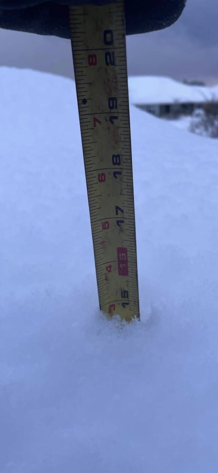
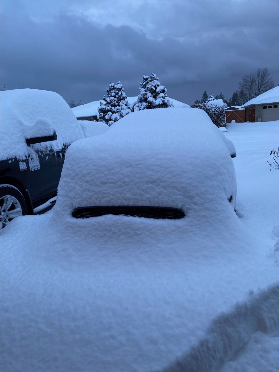
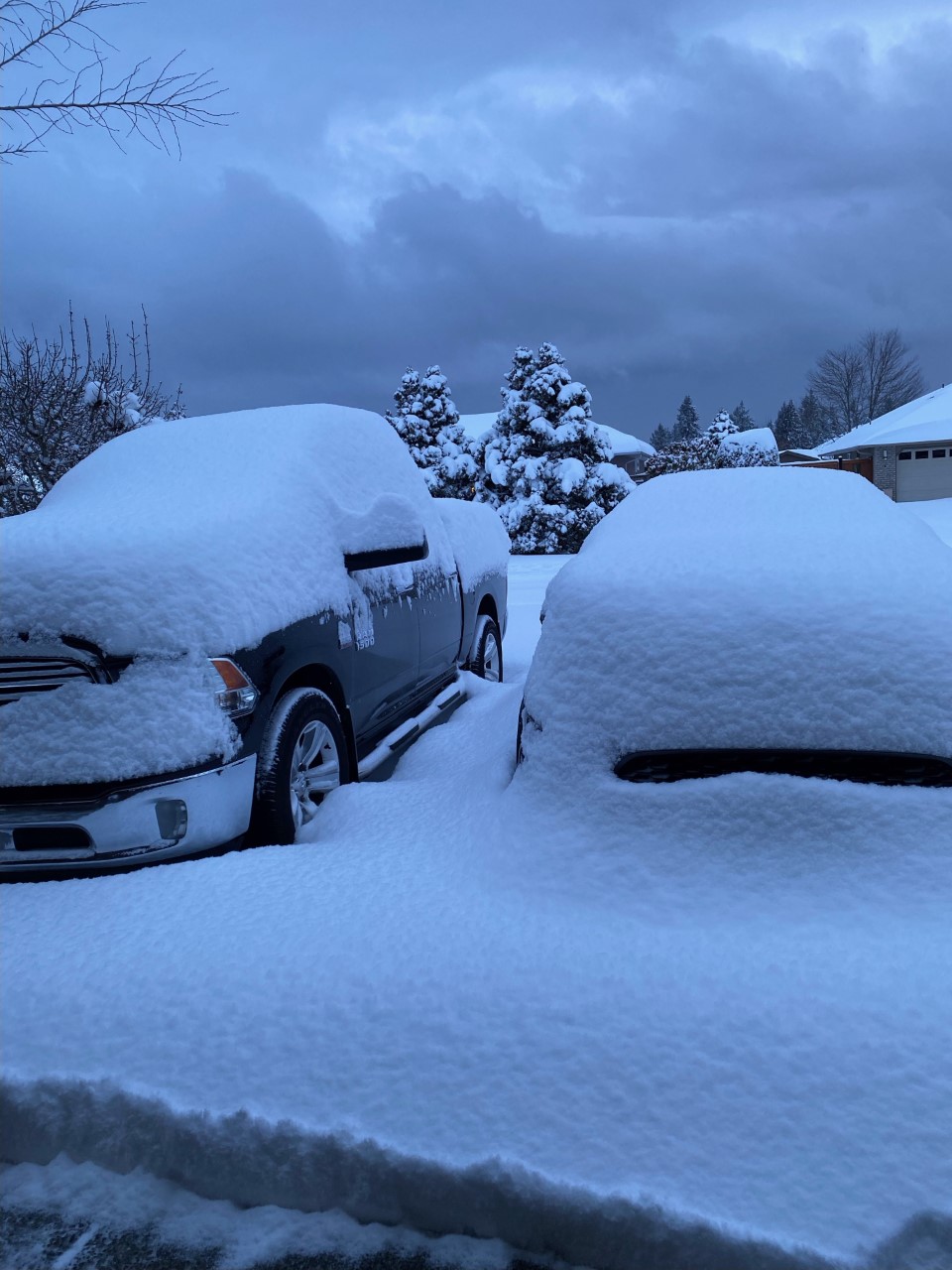
Some residents on Vancouver Island woke up Thursday to as much as 35 centimetres of snowfall on Thursday morning.

Get breaking National news
The Nanoose Bay area received between 30 and 35 centimetres, while residents of Qualicum Beach received around 27 centimetres.
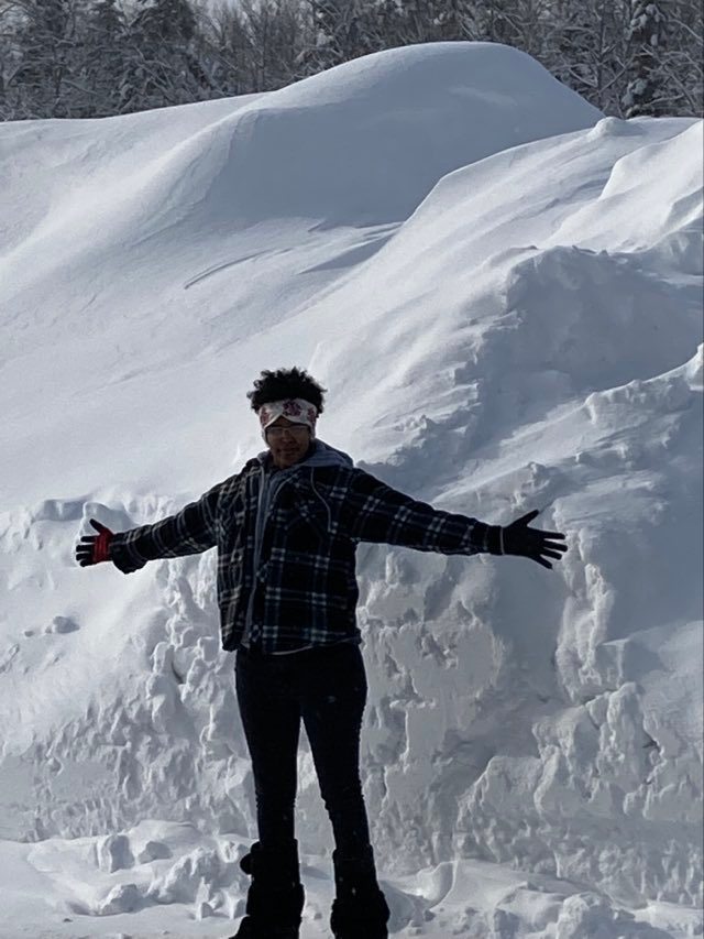
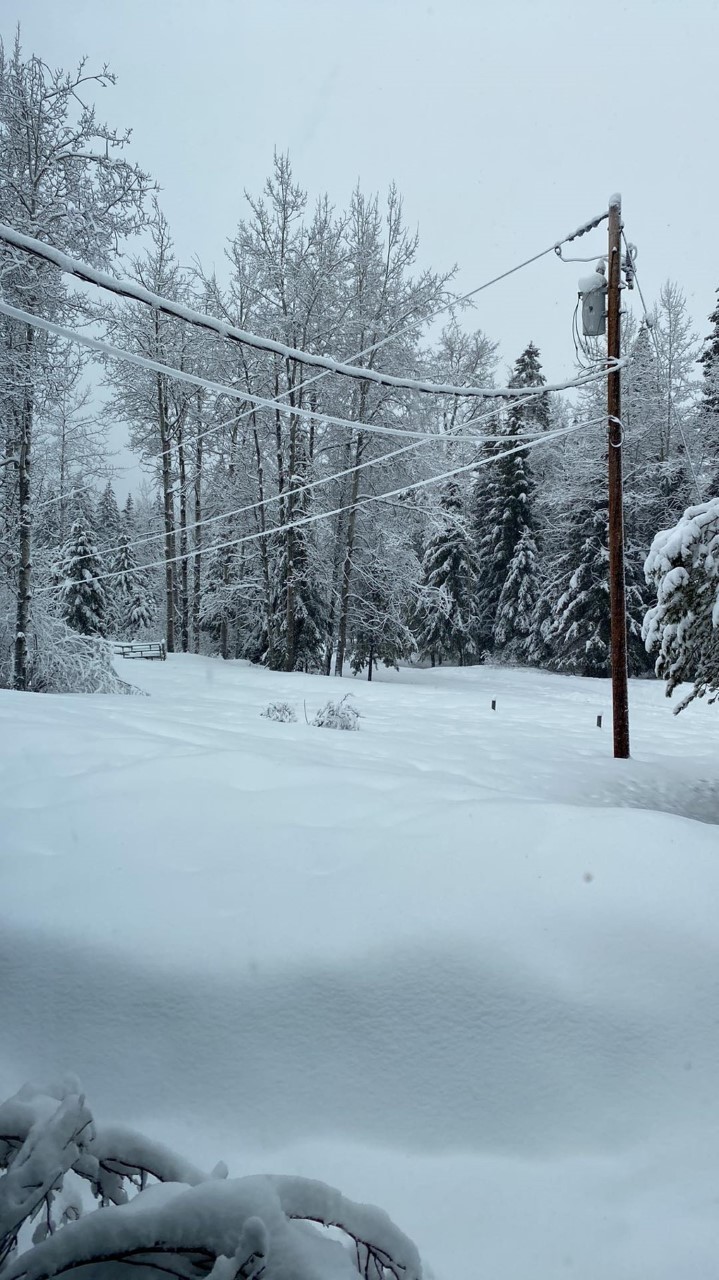
Residents in the Deka Lake and Interlakes area also received a record amount of snowfall, about three feet in three days.
“The next weather system will drop down from the northwest onto the North Coast on Friday and the South Coast on Saturday,” Madryga said.
“Snow will blanket almost the entire coast over that timeframe, with the Lower Mainland likely to experience considerable snowfall beginning later on Saturday.”
Near the coast, temperatures will rise to above freezing on Sunday morning which should begin the melt, but inland areas will remain below freezing, Madryga added.






Comments
Want to discuss? Please read our Commenting Policy first.