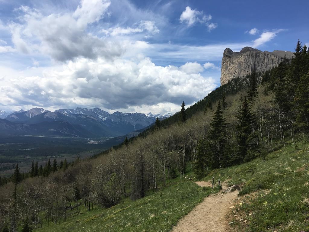
New research has spelled out for the first time the gap between official lists of trails in the southern Rockies and the number of trails there actually are, suggesting effects from the growing number of backcountry users may be larger than suspected.

The conclusions, the result of crunching 50 different data sets from Alberta and British Columbia covering more than 50,000 kilometres of trails and roads, show nearly a quarter of trails in those areas don’t appear on official maps.
“There is a gap,” said biologist Annie Loosen, one of the researchers who wrote the report for the Yellowstone to Yukon Conservation Initiative, the B.C. government and the University of Northern British Columbia. “Our report highlights there is a management gap.”
The report comes as pressure on Alberta’s beloved mountains and foothills grows. So many people are trying to get to Moraine Lake in Banff National Park that Parks Canada recently cut off private vehicle access.
The researchers compiled information over a huge swath of the southern Rockies covering 63,000 square kilometres. The area included Alberta’s Kananaskis Country and Ghost Public Land Use Zone, as well as Banff, Yoho, Kootenay, Glacier and Mount Revelstoke National Parks and B.C.’s Purcell Wilderness Conservancy.
They documented more than 53,000 kilometres of trails, cutlines, transmission lines, pipelines and rough resource roads that could be used. Trails contributed about 22,000 kilometres, roads 21,000 kilometres and the rest about 10,000 kilometres.

Get breaking National news
Many of those so-called “linear disturbances” were taken from official sources such as government or industry maps. Many weren’t, coming from online resources such as Trailforks or local groups like snowmobile clubs.
- Canadians say Puerto Vallarta a ‘war zone’ amid escalating violence
- As Carney heads to India, Canada seeks to revoke citizenship of 2008 Mumbai attack ‘mastermind’
- Vancouver airport ties Nexus outage to U.S. partial government shutdown
- What’s a Canadian firm under defence industrial strategy? It’s complicated
In all, the researchers found 24 per cent of all trails in the southern Rockies were undocumented and unmanaged. That’s almost 6,000 kilometres of trails totally off the books.
“It’s creating a situation that’s challenging to manage,” Loosen said.
She said recreational overuse can create significant effects.
Trails can erode or be widened and braided. Streams can be muddied. Trees and other plants can be damaged.
Although animal reactions to human presence varies greatly, those encounters also have effects, said Loosen.
“We’re finding studies where the mere presence of a person can cause behavioural change. (Animals) spend less time feeding or doing those activities that promote productivity.”
Some areas have so many trails they could already be causing problems for wildlife. One of the tools land managers use to estimate the effect is density — how many kilometres of trail or road exist in a given square kilometre.
The researchers found that so-called “linear density” already exceeds thresholds for grizzly bears in eight out of 30 watersheds and for bull trout — Alberta’s provincial fish in –16 out of 30 watersheds.

The four regions with the highest linear density were all the Alberta foothills west of Calgary, reaching 3.3 kilometres for every square kilometre in the Bragg Creek area. That’s eight times higher than the density at which bull trout start to decline.
At least four peer-reviewed, government-funded studies have concluded that road and trail density are already harming populations of animals such as caribou, grizzly bears and bull trout.
Loosen said the study isn’t able to gauge how often the trails were being used, by whom, or what the effect is. She said that’s next.
“Outdoor recreation is one of the leading threats to at-risk species,” she said. “It’s extremely important to have those experiences for people, but it also can have a cumulative impact on wildlife.”
The Alberta government did not respond to a request for comment on the report’s findings.
In 2021, the United Conservative Party government passed a Trails Act, intended to modernize and upgrade the province’s trails. Then-environment minister Jason Nixon said the legislation creates a way to authorize new trails and added that trail closures were not being contemplated.


Comments
Want to discuss? Please read our Commenting Policy first.