


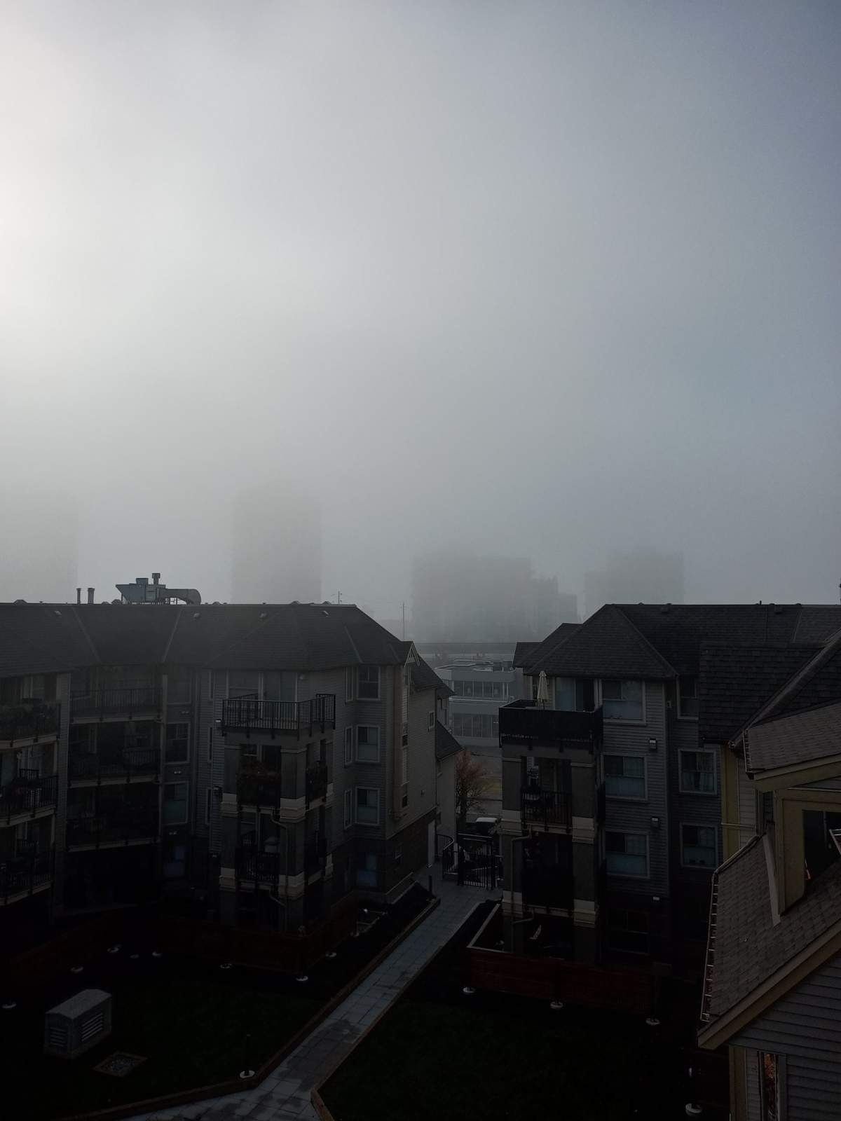
Early risers in Metro Vancouver this week have been treated to foggy landscape views, and there’s more to come.

Global BC chief meteorologist Mark Madryga said the fog banks that blanketed the Lower Mainland on Monday and Tuesday are expected to return Wednesday before clearing out Thursday.

“We have a strong temperature inversion, lots of sunshine still today, especially the Fraser Valley and Metro Vancouver,” he said.
“Meaning stable, stagnant (air), not much movement down low in Metro Vancouver, so that fog,” Madryga said.
Inversions develop when high-pressure air keeps the skies clear at higher altitudes. In cooler months and in the absence of wind, the ground loses heat overnight, resulting in a layer of cooler air at ground level which becomes saturated with moisture. Fog banks then develop.
Those foggy vistas have been on full display, much to the delight of the region’s shutterbugs. Here’s a roundup of some of what Global BC viewers saw.




- ‘Godzilla’ El Nino set to bring warmer, drier temperatures to Canada
- Heat waves linked to 50K deaths in Europe this summer, report says
- High winds from Subtropical Storm Josephine nix N.S.-P.E.I. ferry crossings
- Subtropical storm bringing rain and wind to parts of Atlantic Canada, diverts cruise ship




Comments
Want to discuss? Please read our Commenting Policy first.