

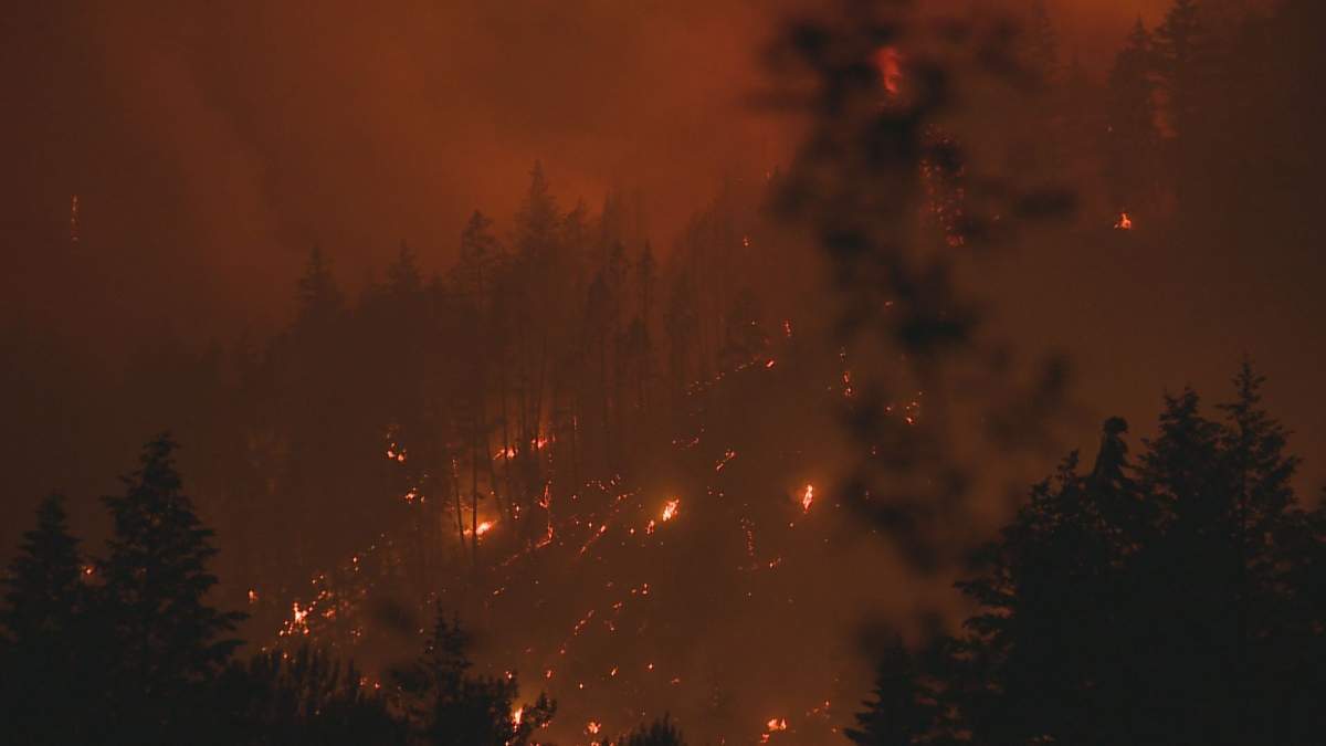
A South Okanagan wildfire that’s burning southwest of Penticton has quickly grown to 437 hectares — more than doubling its estimated size.

It was discovered on Friday along with many others in the Kamloops Fire Centre after scattered lightning strikes across the Southern Interior.
The Keremeos Creek blaze was listed at 100 hectares on Friday night, but was upsized to 150 hectares on Saturday morning.
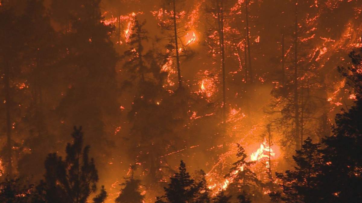
However, in a Saturday afternoon update, the B.C. Wildfire Service said due to aggressive fire behaviour, it can be assumed the fire is now at 200 or 300 hectares.
The latest update Saturday night is a result of more accurate mapping, the service said.
Now deemed a wildfire of note, part of the fire’s aggressive behaviour had it jump Green Mountain Road to the east.
The BCWS says there are currently 18 personnel on site, along with four helicopters, structure protection personnel and multiple fire department apparatus.
“Additional helicopters, ground crews and support staff are en route and will be arriving throughout the day,” said BCWS.


It also said the fire is located in terrain that air tankers and heavy machinery can’t access at this time.
The fire was first reported in the afternoon, with BCWS saying ground personnel and three helicopters began immediately attacking the blaze, and did so until 9 p.m.

Get daily National news
BCWS added that structure protection personnel were brought in for the Green Mountain Road area.
An incident management team is en route and will take command of the fire on Sunday at 9 a.m.


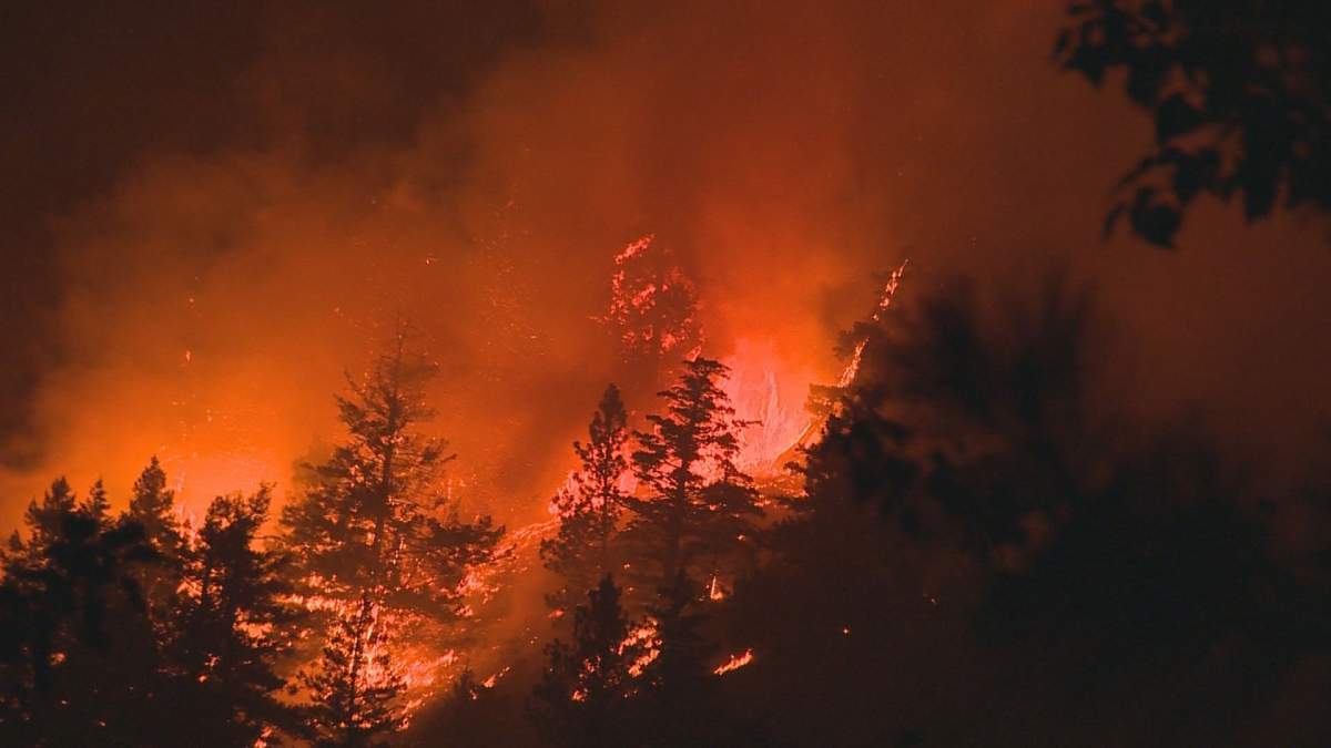
The fire is located in rugged terrain, around 21 km southwest of Penticton, or 11 km north of Olalla. It’s also around five km southeast of Apex Mountain Resort.
The fire’s cause is currently unknown.
The Regional District of Okanagan Similkameen confirmed that one building was lost, with an official describing it as a cabin or an older building.
As a result, the Regional District of Okanagan Similkameen issued an evacuation alert and an evacuation order on Friday night.

The evacuation order, issued at 9:30 p.m., is for Green Mountain Road between Highway 3A to the south and Apex Mountain Road to the north, and in the general vicinity of Ford Lake.
The evacuation alert, issued at 10:30 p.m., includes the following properties.
- 26 Apex Mountain Rd.
- 99 Apex Mountain Rd.
- 108 Apex Mountain Rd.
- 146 Apex Mountain Rd.
- 205 Apex Mountain Road
- 226 Apex Mountain Road
- 1705 Green Mountain Rd.
- 1825 Green Mountain Rd.
- 1907 Green Mountain Rd.
- 1918 Green Mountain Rd.
- 1925 Green Mountain Rd.
- 1940 Green Mountain Rd.
- 1992 Green Mountain Rd.
- 1995 Green Mountain Rd.
- 2011 Green Mountain Rd.
- 2021 Green Mountain Rd.
- 2049 Green Mountain Rd.
- 2050 Green Mountain Rd.
- 2099 Green Mountain Rd.
- 3051 Green Mountain Rd.
- 1038 Highway 3A
- 4585 Sheep Creek Rd.
- 4590 Sheep Creek Rd.
- 4595 Sheep Creek Rd.
- 4690 Sheep Creek Rd.

Comments
Want to discuss? Please read our Commenting Policy first.