
TORONTO – It’s been an active season for tropical storms and typhoons in the Pacific this year.

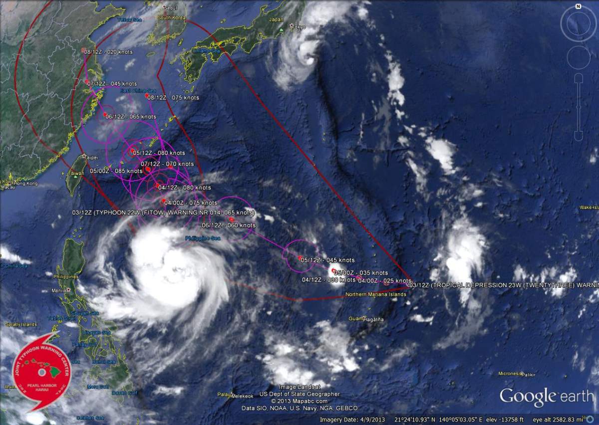
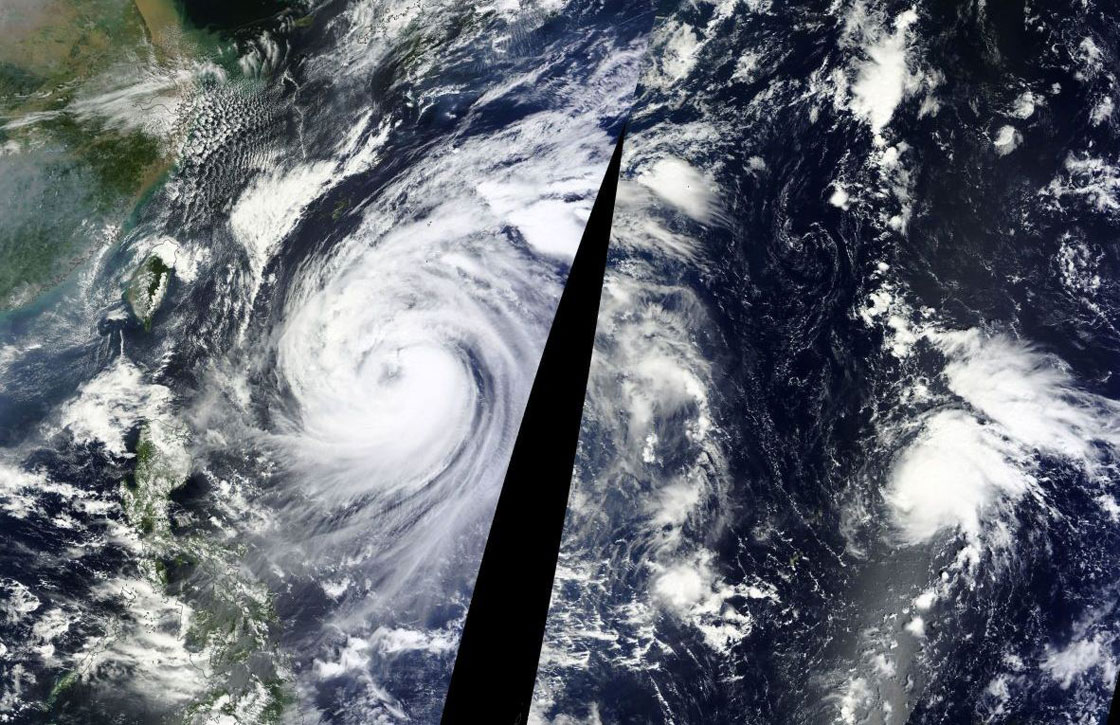
Just as Tropical Storm Sepat passed by Japan and became an extratropical cyclone, Typhoon Fitow looks to be aiming for China and another one is close behind.
Fitow is expected to track northward over the next 12 to 18 hours with winds of 100 km/h. As the storm progresses, it will likely take a northwestward track within the next few days or so.
Behind Fitow is Tropical Depression 23W which appears to be strengthening. It is currently located about 430 km northeast of Guam with winds of about 56 km/h.
The storm is forecast to move westward over the next few days, gaining strength, likely developing into a typhoon and then passing over Okinawa, Japan, by Tuesday.


Comments
Want to discuss? Please read our Commenting Policy first.