


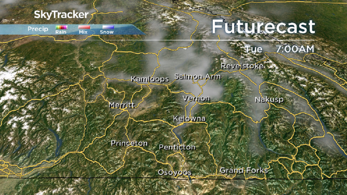
The holding pattern of an upper ridge of high pressure remains the dominant force heading into the final week of January.

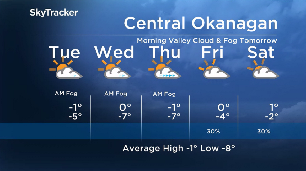
As a result, morning valley clouds will linger at a lower elevation with afternoon sunshine filtering in.
Daytime highs will flirt with the freezing mark through the middle of the week with overnight lows in mid-minus single digits.

Get breaking National news
Get breaking Canada news delivered to your inbox as it happens so you won't miss a trending story.
By providing your email address, you have read and agree to Global News' Terms and Conditions and Privacy Policy.
A few more clouds are expected to finish the week on Friday.
The weekend is shaping up to be a continuation of the same pattern with a few more clouds possible and daytime highs jumping just above zero.
- End of the road coming for ‘End of the World’? Erosion impacts Edmonton viewpoint
- Tropical Storm Polo expected to become a major hurricane this week
- Record slow hurricane season, but Maritimers warned to stay vigilant about extreme weather
- Tornado confirmed in Winnipeg neighbourhood, another west of the city


For weather on the go download the Global News SkyTracker Weather App for iPhone, iPad or Android.


Comments
Want to discuss? Please read our Commenting Policy first.