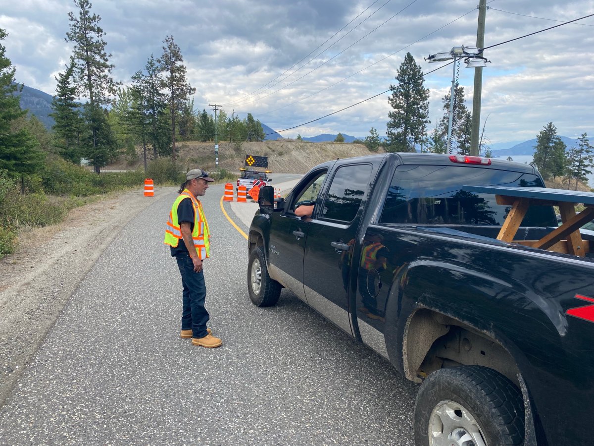
Residents in one North Westside community were allowed to return home on Wednesday, as White Rock Lake wildfire officials lifted an evacuation order affecting the Valley of the Sun subdivision.

The fire has seen minimal growth in the last week, though BC Wildfire still listed the massive blaze as being out of control. Its current size is estimated at 83,112 hectares.
Due to that lack of growth, Central Okanagan Emergency Operations (CORE) said it was rescinding an evacuation order affecting the Valley of the Sun, and that it was being downgraded to an evacuation alert.
The downgrade affected the following properties:
- Alpine Road
- Balsam Road
- Briarwood Road
- Firwood Road
- Westside Road (7875, 7951, 7981, 8015, 8039, 8255, 8285, 8415)
- Westside Road North (7919, 8055, 8063, 8219, 8325, 8375)
- Wood Road
CORE said all remaining evacuation orders within the Central Okanagan West electoral area will remain in place until further notice.

It also said that even though one evacuation order was downgraded, the fire remains active and residents in the alert areas should be prepared to leave their homes at a moment’s notice.

Get breaking National news
Also Wednesday, the City of Vernon rescinded an evacuation alert affecting Canadian Lakeview Estates, Adventure Bay and Tronson Road (addresses between 8125 and 9280).
The city noted that there are now no other evacuation alerts and orders within Vernon.
Further, the Township of Spallumcheen lifted its evacuation alert.

On Wednesday, BC Wildfire also said ignitions done in the Irish Creek area, along with recent rain, have reduced the risk of further spread on most of the fire’s perimeter.
It also said Monday’s planned ignition was sized at 975 hectares — well below the expected 3,000 hectares that BC Wildfire was predicting in the lead-up to the planned burn.
“The burn plan objectives were to mimic natural wildfire with up to 30 per cent tree mortality and understory woody debris consumption. The Irish Creek area has over 40 years of woody debris buildup,” said BC Wildfire.
“Areas that had significant fuel build-up, combined with very steep slopes, burned with more intensity. This resulted in a patchwork burn with pockets of more intense fire behaviour that is seen when natural wildfire moves through a forest.”

BC Wildfire also said out of the 975 hectares, 14 hectares burned across containment lines in a 920-metre stretch along the fireguard, when decked logs were ignited by more intense fire behaviour.
A crew managed this excursion with full containment achieved on Tuesday morning.


Comments