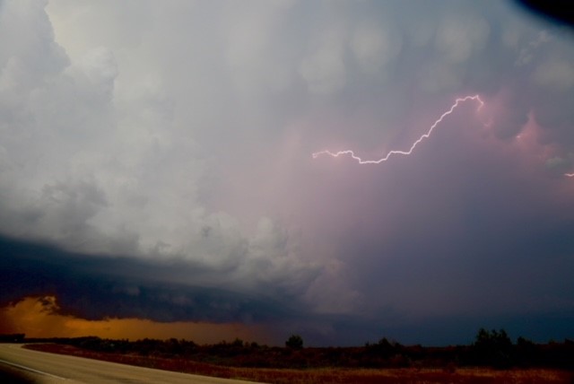
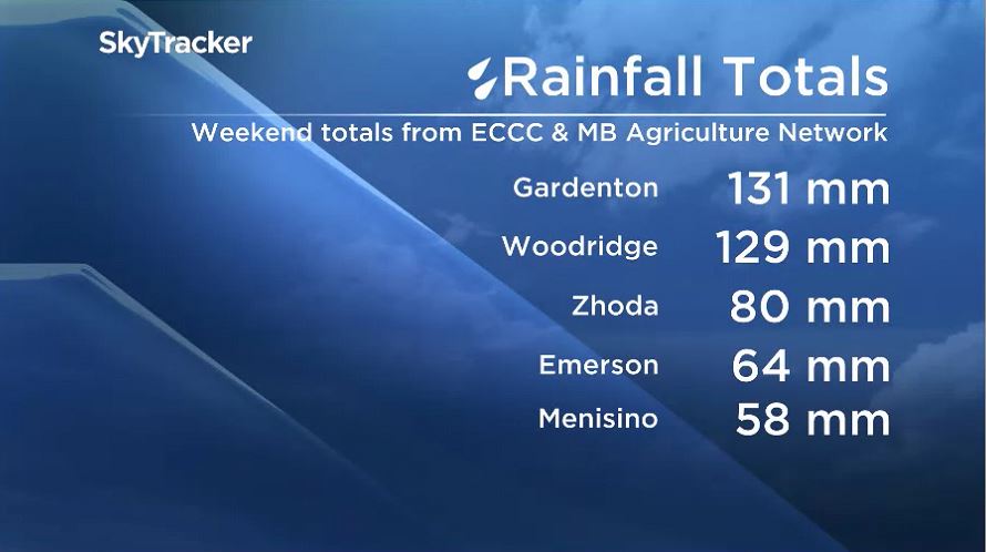
Showers and severe thunderstorms were the story of the weekend with some significant rainfall totals and reports of hail around southern Manitoba.

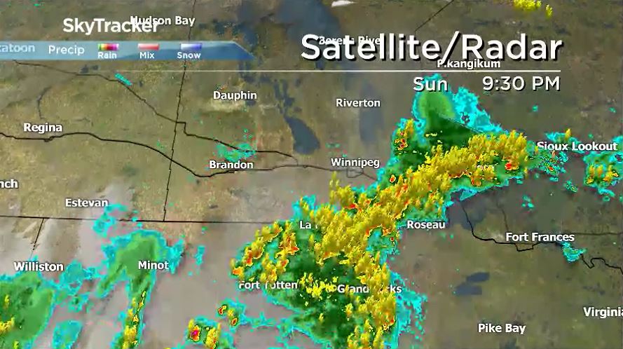
Saturday evening and Saturday night, showers and thunderstorms moved across southern Manitoba but more potent storms took place on Sunday evening.
Thunderstorm watches and tornado watches were issued by Environment and Climate Change Canada early Sunday afternoon ahead of these storms.
An unstable environment and a very slow-moving storm front left localized heavy downpours in communities around southeastern Manitoba.
Winnipeg avoided the heaviest rainfall but saw plenty of interesting storm cloud formations. Over the weekend, Winnipeg registered 22 mm of rain at the airport and 24 mm of rain at The Forks.

Get daily National news
READ MORE: No new coronavirus cases reported in Manitoba on Monday
Environment and Climate Change Canada also had reports of loonie and toonie sized hail on Sunday evening in Altona, Badger, and Arbakka.
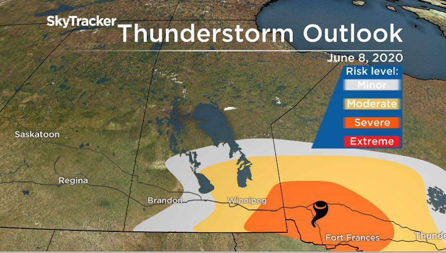
Looking ahead to Monday evening, there remains a threat for more severe weather.
There is high heat and humidity in the area, which will fuel the storms. A cold front moving through the area will act as a trigger.
Very strong winds up to 110 km/h and loonie-sized hail are possible around southeastern Manitoba and into northwestern Ontario.
There also exists a small chance of tornado activity in southeastern Manitoba and into northwestern Ontario.
Tornado watches and severe thunderstorm watches were issued by Environment and Climate Change Canada Monday afternoon.
After Monday, the forecast settles down. There will be more opportunity to see precipitation but the threat of severe storms will be less.


Comments
Want to discuss? Please read our Commenting Policy first.