

Flood warnings have been issued in southeastern B.C. after last weekend’s severe thunder and rain.

According to the River Forecast Centre, a range of 10-50 mm of rain has drenched the region since Saturday.
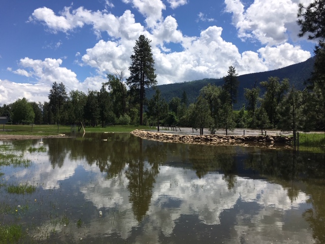
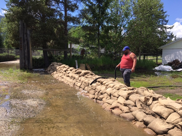
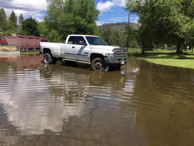
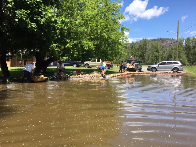
As a result, the flood watch in the Boundary region, which includes the Kettle, West Kettle, and Granby rivers in Grand Forks, was upgraded to a flood warning on Monday. Such a warning is issued when the river has or will exceed its banks.
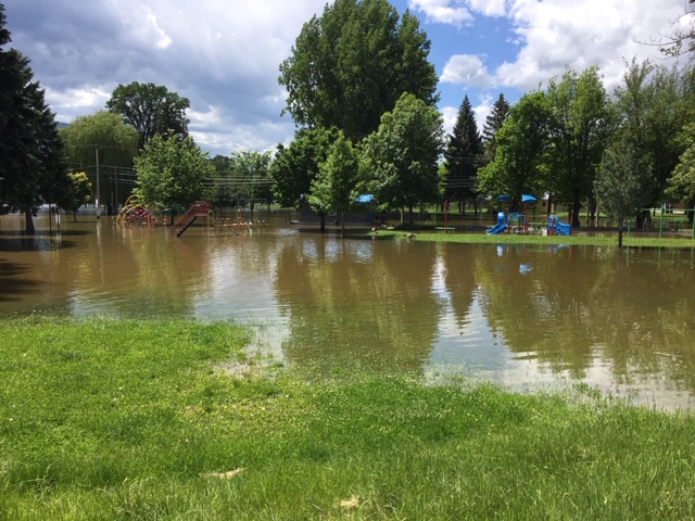
On Monday afternoon, the Regional District of Kootenay Boundary issued evacuation orders for 171 more properties in the Grand Forks area, bringing the total 189 households.
The evacuation order affects about 400 people.
Shortly after, the regional district issued an evacuation order for 27 households on the North and South Johnson Flats.
Residents are required to leave the affected areas immediately due to the immediate threat of flooding from the Granby and Kettle Rivers. Emergency support is at the Jack Goddard Memorial Arena.
About 1,000 properties remain on evacuation alert affecting a further 2,000 people across the Boundary area.


A flood watch is in place for the West Kootenay, including the Slocan and Salmo rivers and tributaries.
Meanwhile, the Regional District of the Central Kootenay rescinded evacuation orders for Crawford Creek, Duhamel Creek and Salmo, outside of Nelson, after river levels began to drop after the weekend storm.

Get daily National news
The East Kootenay area including the Moyie River and its tributaries is under a flood watch, which means levels are rising and could approach or breach banks.

In the Similkameen valley, a state of local emergency has been declared in the tiny community of Cawston.
According to the Regional District of Okanagan-Similkameen, residents are likely to be impacted by flood waters and there is a potential of threat to life and safety and property damage.
_848x480_1397405763961.jpg?h=article-hero-560-keepratio&w=article-hero-small-keepratio&crop=1&quality=70&strip=all)


WATCH ABOVE: People living in the Cawston area are keeping a close eye on the river after a weekend storm caused an evacuation order and several alerts. Jules Knox reports.

WATCH ABOVE: A Local State of Emergency has been issued in Cawston due to rising water levels in the Similkameen River. At least one property is now on an evacuation order with several others on evacuation alerts. Karla Kozakevich, chairperson of the Regional District of Okanagan-Similkameen describes the situation in the area.
An evacuation order has been issued for one property on Chopaka Road at this time.
Evacuation alerts are in effect for the following properties:
1049 Chopaka Road
1050 Chopaka Road
1101 Chopaka Road
The River Forecast Centre has also issued a high streamflow advisory for the Similkaneen River and its tributaries, including the Ashnola River.

The local state of emergency will remain in effect until midnight on June 6, unless rescinded before then.
High streamflow advisories are also in effect for the Okanagan, including tributaries around Vernon, Lumby, Winfield, Penticton, Osoyoos and Kelowna.
There is also a high streamflow advisory for the Salmon River near Salmon Arm.
Comments
Want to discuss? Please read our Commenting Policy first.