
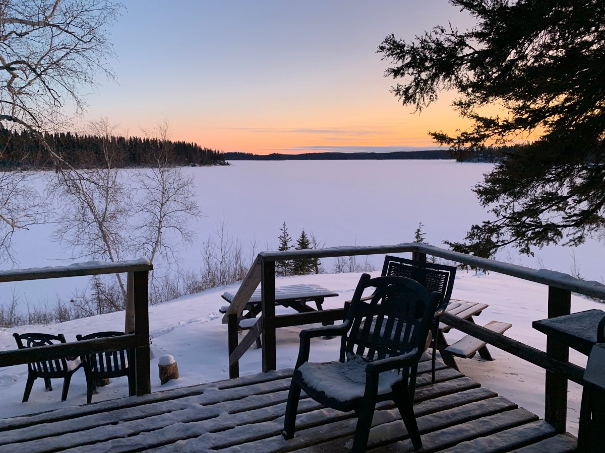
It looks like the coldest days of the month are behind us now. Hopefully, that provides some comfort as we are roughly a month away from the official start of winter.


Just one week ago, temperatures were their coldest of the month, starting the day near -20 C and warming up to highs of -10 C and -13 C. This month has also had some record-breaking cold the week before with records set on Nov. 4 and 5 in parts of southern Manitoba.
Now, temperatures have moderated and on Saturday, Winnipeg actually had a day with temperatures above 0 C and above normal.
Moderate temperatures will continue through the rest of the week. Monday will be another warm day with high above 0 C once again. There is some precipitation around southern Manitoba, but accumulation-wise, the amount will be minor. Either way, with showers or flurries and temperatures hovering around the freezing mark, there’s the risk of ice forming on the roads so be sure to drive to the conditions, especially on the highways.
Low pressure is sitting right over Manitoba to start the week and low pressure will still be with us Tuesday as well. As a result, there’s still the chance of a couple flurries or a shower but even less precipitation than Monday.
Things will cool off into Wednesday and as far as noticeable precipitation, here’s where it comes. Numbers vary but Tuesday night into Wednesday is where there could be some snowfall accumulation.
While the numbers for Winnipeg vary, the track of the snow looks like it will be more noticeable south of the Trans-Canada highway. As of Monday morning, the highest snowfall numbers for Winnipeg are up to 4 cm.


Later in the week, the picture gets a bit blurrier with the chance for some slightly cooler and clearer days, but that will depend on how things play out in behind the system that brings snow our way. Fortunately, there doesn’t look like any reason to worry about another stretch with temperatures dropping down to -20 C. Not this month anyway.

And once again, we’ll look at the longer-range forecast with day 8-14 from Environment and Climate Change Canada. This doesn’t take into account precipitation but temperatures are expected to stay close to normal around the prairies so if there is a big temperature drop coming, it won’t be in the near future.

- ‘Shock and disbelief’ after Manitoba school trustee’s Indigenous comments
- Canadian man dies during Texas Ironman event. His widow wants answers as to why
- Several baby products have been recalled by Health Canada. Here’s the list
- ‘Sciatica was gone’: hospital performs robot-assisted spinal surgery in Canadian first
Comments