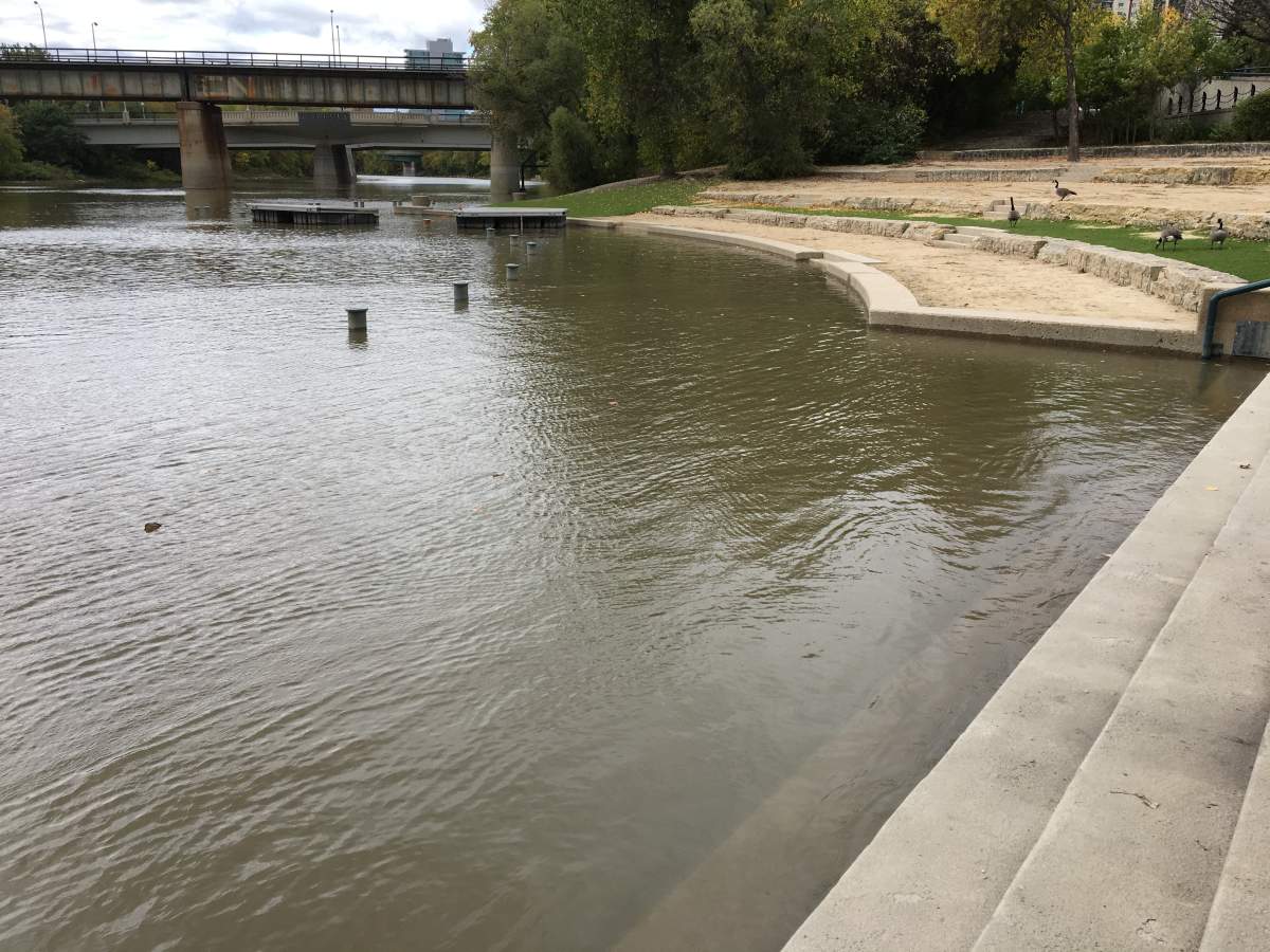
The river walkway at The Forks is shut down from the Donald Street Bridge to the Legislative Building after Winnipeg was hit with a September storm.

In that storm, Winnipeg saw 45 mm of rain — the amount we typically get for all of September — and so far this month we have already experienced 114.4 mm of rain.
The city typically has to close the river walkway in the spring, which is the last time it was shut down.
In a statement the city said it’s rare for the walkway to be closed in the fall.
“This current closure is due to unseasonably high water levels, which may continue to rise,” said city spokesperson Adam Campbell.
“We have removed pathway lighting as a precaution to prevent property damage, and will continue to monitor water levels over the coming weeks.”
People visiting The Forks Wednesday were surprised to see the rising water levels.

Get daily National news
“The water level seems to be a little high for this time of year,” Jordan Nerbas said.
“It looks like how it would look after a melt like in March or April, it doesn’t seem normal.”
WATCH: Winnipeg roads flood, people trapped in cars as thunderstorms roll through Manitoba

Jay Doering, professor of Civil Engineering at the University of Manitoba, has been monitoring flood levels in Manitoba for the past 22 years.
He says it’s too early to tell what kind of impact the abnormal September rain totals may have on spring flooding.
“These things can almost turn on a dime. It only takes one large significant event for things to change,” he said.
“It’s nothing we can predict at this point.”
Multiple factors go into forecasting spring flooding, added Doering
“First is soil moisture, then there’s the depth of frost over the fall, winter precipitation, the rate of the snow melt and spring rain and how they all come together in terms of timing.”
There’s still more rain in the forecast, 15-25 mm of rain is expected Thursday night and if that’s accurate, this September could be one of the rainiest on record.
WATCH: Red River Flood Watch continues as spring snow storm hits Grand Forks


Comments
Want to discuss? Please read our Commenting Policy first.