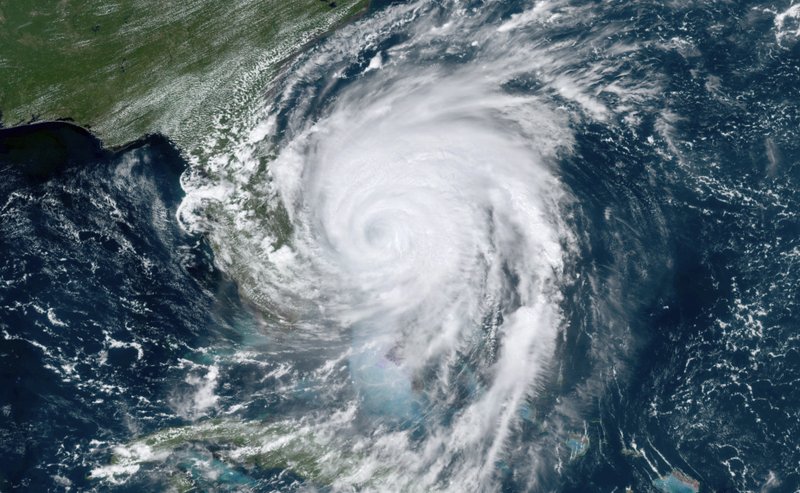
The Canadian Hurricane Centre says Hurricane Dorian might move into eastern Quebec this weekend as either a Category 1 hurricane or a strong tropical storm.

On Wednesday, Environment Canada issued a warning to southern Quebec’s Anticosti, Blanc-Sablon, Chevery and Îles-de-la-Madeleine regions, alerting them of the potential upcoming weather on Saturday and Sunday.
“Right now it’s only looking like a glancing blow with some heavy rain and potential for 90km/h winds,” said Global News chief meteorologist Anthony Farnell.
READ MORE: Quebec woman says parents trapped in Bahamas by hurricane have made contact
Computer models indicate Dorian could head out to sea as it moves toward Nova Scotia, or it could shift northward into southern New Brunswick and the eastern edges of Quebec and southern Labrador.

Get daily National news
According to Environment Canada, should the storm hit the regions listed above, residents should prepare for strong winds, heavy rainfall and a storm surge. For now they are calling it a potential tropical cyclone.
A Category 1 hurricane produces sustained wind speeds above 119 kilometres per hour.
READ MORE: Dorian inches north towards the Carolinas with an eye to Atlantic Canada this weekend
As Dorian left behind a trail of destruction in the Bahamas, rescue crews fanned out Wednesday to find survivors amid a landscape of splintered homes and submerged streets.
The official death toll on the islands of Abaco and Grand Bahama stood at seven but was certain to rise as emergency workers had yet to reach some areas.
— With files from The Associated Press and The Canadian Press
WATCH MORE: Sparks fly off power lines after Hurricane Dorian moves past Florida


Comments
Want to discuss? Please read our Commenting Policy first.