Nova Scotia’s transportation minister says road crews are checking highway conditions daily in areas near Oxford as part of safety monitoring for sinkhole activity.

Lloyd Hines says the work includes a closer look at Highway 321, which runs through the town, as well as sections of the nearby Trans-Canada Highway.
READ MORE: Study says some areas in Oxford, N.S., face high risk of developing additional sinkholes

Get breaking National news
Hines says data is being gathered to determine whether any action needs to be taken.
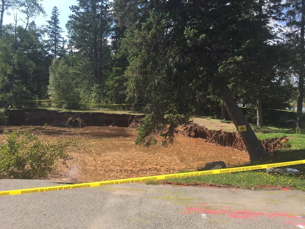
A report released last week by an engineering firm warned of the risk of additional sinkhole activity near a large one that forced the closure of the Oxford Lions Club building.


Hines says his department is studying a new aerial imaging survey showing the extent of the sinkhole problem in the area.
READ MORE: Sinkhole in Oxford, N.S., now ‘undercutting’ nearby parking lot
A provincial geologist has said preliminary results from the laser imaging shows a well-defined line of sinkholes that extends for about five kilometres and is about 500 metres wide in some areas, in and around the town.
Comments
Want to discuss? Please read our Commenting Policy first.