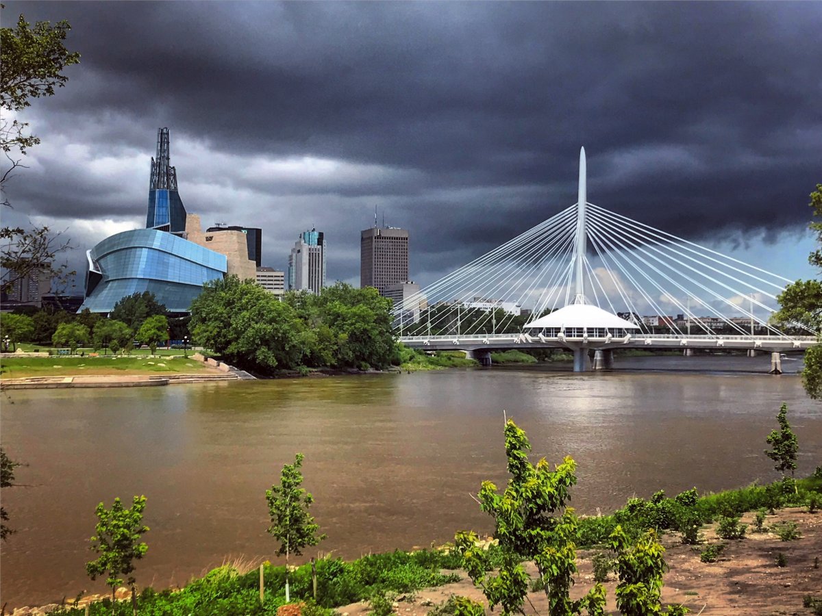
After some thunderstorm activity on Sunday afternoon, things have cooled off temporarily. Don’t worry though, it’ll warm up quickly all over again.

There was some severe weather Sunday with reports of hail near Vita (quarter sized) and near Woodridge (nickel sized) according to Environment and Climate Change Canada. During this time, parts of northern Manitoba were getting mostly rain with 40 mm falling in Lynn Lake Saturday into Sunday and 16 mm in Gillam over the same time.
Behind that line of showers and thunderstorms, things cooled off. Monday, the forecasted high of 22 degrees Celsius would be the coolest day since July 3rd.
After the one cool day, temperatures will warm up back to normal and then get warmer than normal through the rest of the week.

Get breaking National news
High pressure sitting around southern Manitoba for the start of the week will keep the conditions fairly clear and allow temperatures to warm up quickly later this week as the system moves to our south.
By Thursday, temperatures should be back around or above 30 C. This is also the next opportunity for Winnipeg to see some precipitation as low pressure will move back into the province on Wednesday. So, areas west of Winnipeg could see some rain a bit sooner.
- After controversial directive, Quebec now says anglophones have right to English health services
- Michael Kovrig reflects on ‘brutally hard’ Chinese detention: ‘You’re totally alone’
- Trudeau to meet Zelenskyy as Biden set to make final UN speech
- Conservatives set to table non-confidence motion Tuesday. What to expect


Comments