Weather watchers are focused on the world’s most northerly community which has been in the middle of a record-breaking heat wave.

“It’s really quite spectacular,” said David Phillips, Environment Canada’s chief climatologist. “This is unprecedented.”
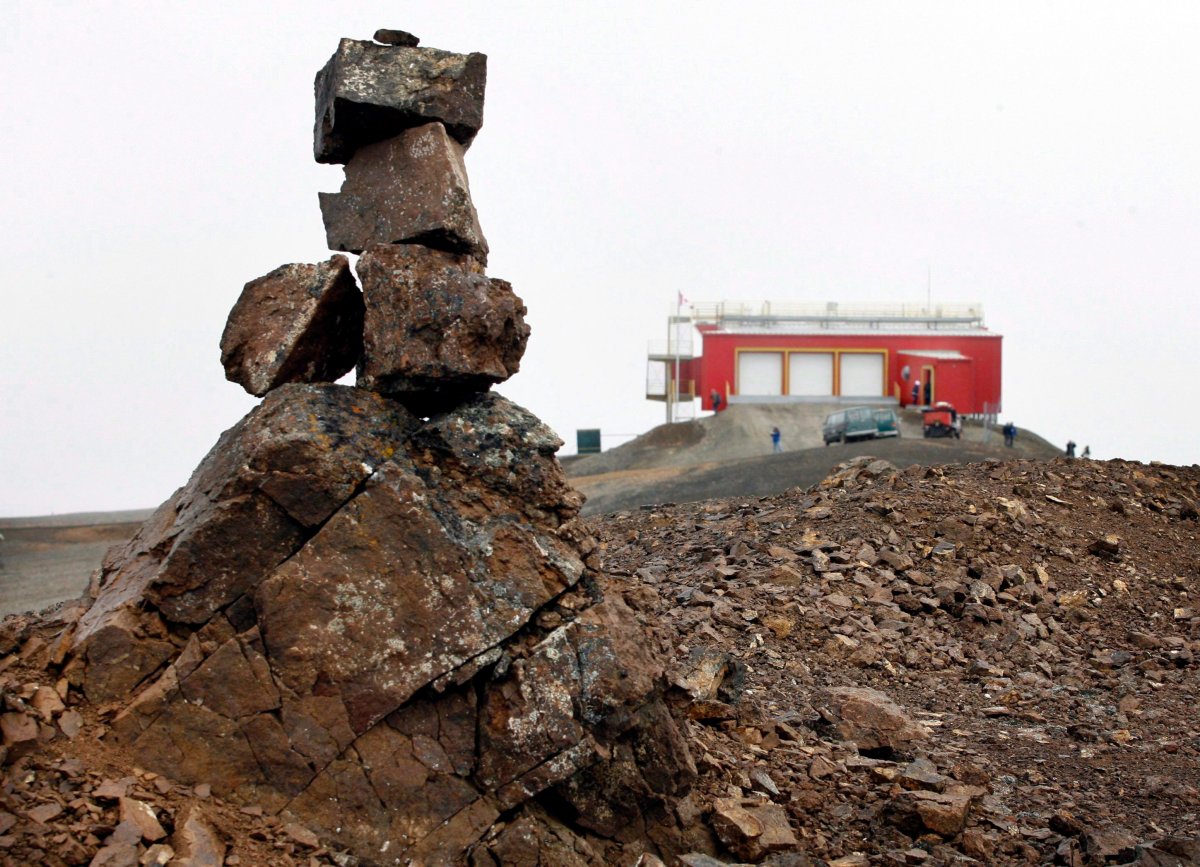
The weather agency confirmed that Canadian Forces Station Alert hit a record of 21 C on Sunday. On Monday, the military listening post on the top of Ellesmere Island had reached 20 C by noon and inched slightly higher later in the day.
Alert was warmer both days than Victoria, B.C., a Canadian go-to for balmy climes.
The average July high for Alert is 7 C. Phillips said that means the heat wave at the top of the world is the equivalent of Toronto registering a daytime high of 42 C.
“It’s nothing that you would have ever seen.”
WATCH: How will climate change affect Canada?

A military spokesman said nobody at the high-security station, which monitors electronic signals and communications, was available to say if soldiers had swapped parkas for flip-flops.
Phillips said it’s the latest anomaly in what’s been a long, hot summer across the Arctic.
Global News’ chief meteorologist, Anthony Farnell, said the rise in temperatures is being seen across Nunavut and isn’t exclusive to Alert.
“Seven stations across Nunavut, the temperature is running about 1 C above average this July,” he said.
Farnell explained that while the temperature in Nunavut has reached above 19 C several times in the last decade, this is the first time with temperatures above 20 on back to back days.
He said a large area of high pressure over northern Greenland is helping funnel up warm air from the US and southern Canada.
Iqaluit, Nunavut, saw the mercury rise to 23.5 C on July 9 – the highest ever for that day. Alaska had its second-warmest June on record.
Records have been falling – not by fractions, but by large margins.
“That’s what we’re seeing more often,” Phillips said.
“It’s not just half a degree or a 10th of a millimetre. It’s like hitting a ball out of the ballpark. It is so different than what the previous record was.”


More is to come, he predicted.
“Our models for the rest of the summer are saying, ‘Get used to it.'”
WATCH: Permafrost melting faster than scientists can study it

In Alert’s case, the source of the Arctic beach weather is a large current of air that somehow found its way north from the U.S. southeast, Phillips said.
It could be related to changes in the jet stream, a fast-moving high-altitude river of air that moves west to east. That current has slowed in recent years and has become more unstable, sometimes looping much farther north or south than normal.
Many scientists believe the changes are at least partly the result of melting sea ice.
“It’s almost as if you’re seeing these extremes more often because of the jet stream that has a different look and a different pattern,” Phillips said. “That’s what we saw when we had those 20-degree temperatures in Iqaluit.”
It’s part of a pattern, he said. He’s cautious about attributing specific events to any one cause, but not about naming one of the main drivers.
“With temperatures you’ve never seen before, you can’t dismiss it as not having a climate change component.”
- ‘Shock and disbelief’ after Manitoba school trustee’s Indigenous comments
- Canadian man dies during Texas Ironman event. His widow wants answers as to why
- Several baby products have been recalled by Health Canada. Here’s the list
- ‘Sciatica was gone’: hospital performs robot-assisted spinal surgery in Canadian first
Comments